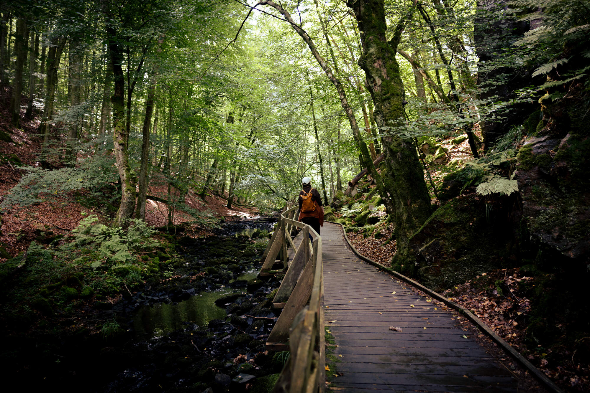
Hiking in Söderåsen Nationalpark
What do you do when the weather forecast is promising a break in the good sunny summer weather and announces cloud and a risk of rain? Of course, you go hiking!
Söderåsen Nationalpark is located in Southern Sweden, only about 1,5 hour drive from Copenhagen and part of a 20km long and 5-10km wide bedrock ridge created about 200 mill years ago. So when we were visited by our friend Anna (who you might recognize from our travel posts to Porto and Madeira) and we were looking for things to do that was also new to us, we decided for a trip to Sweden - actually something that is included in every Copenhagen travel guide for trips longer than a few days. We’ve lived in the city for over 10 years now, do you think it is about time?
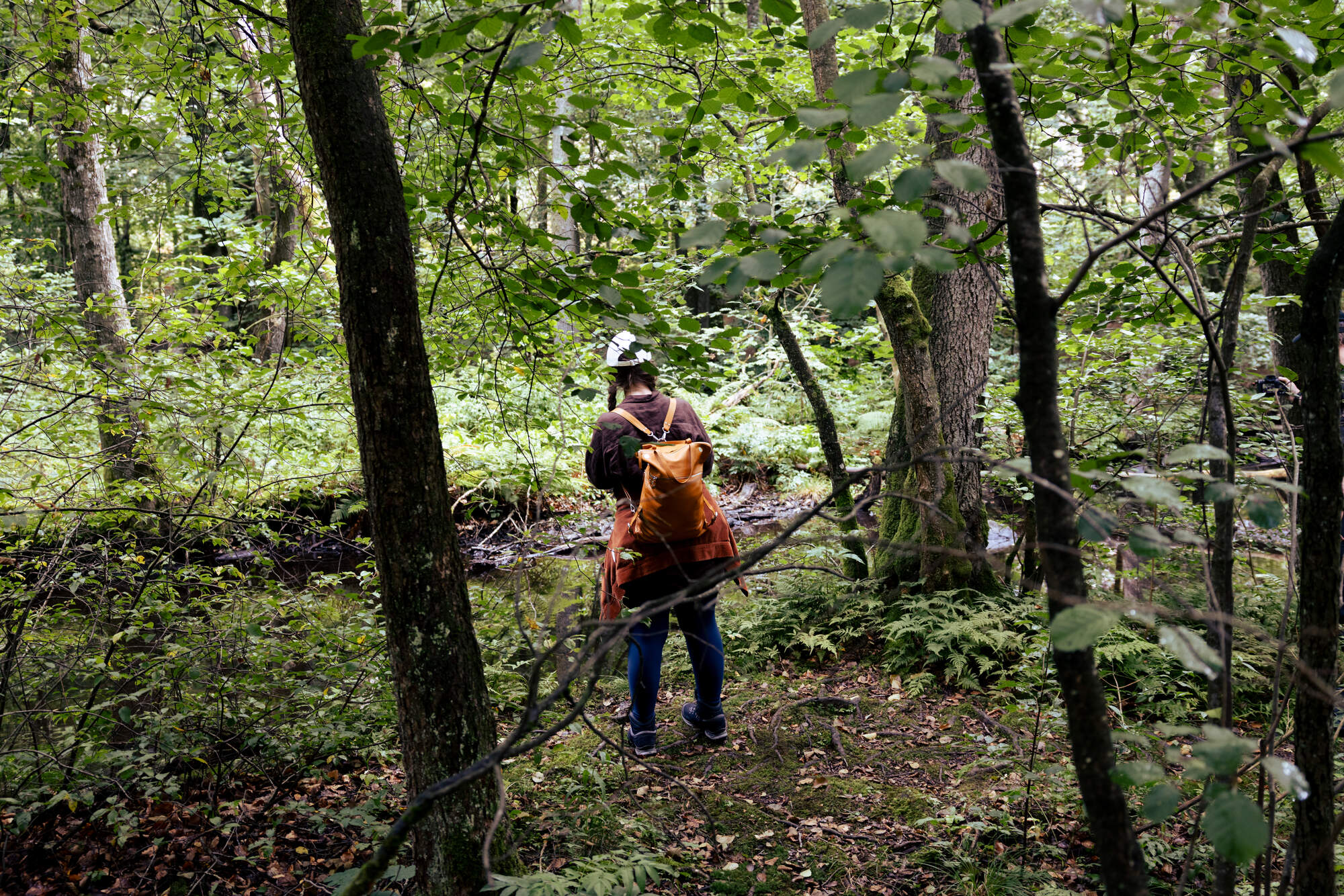
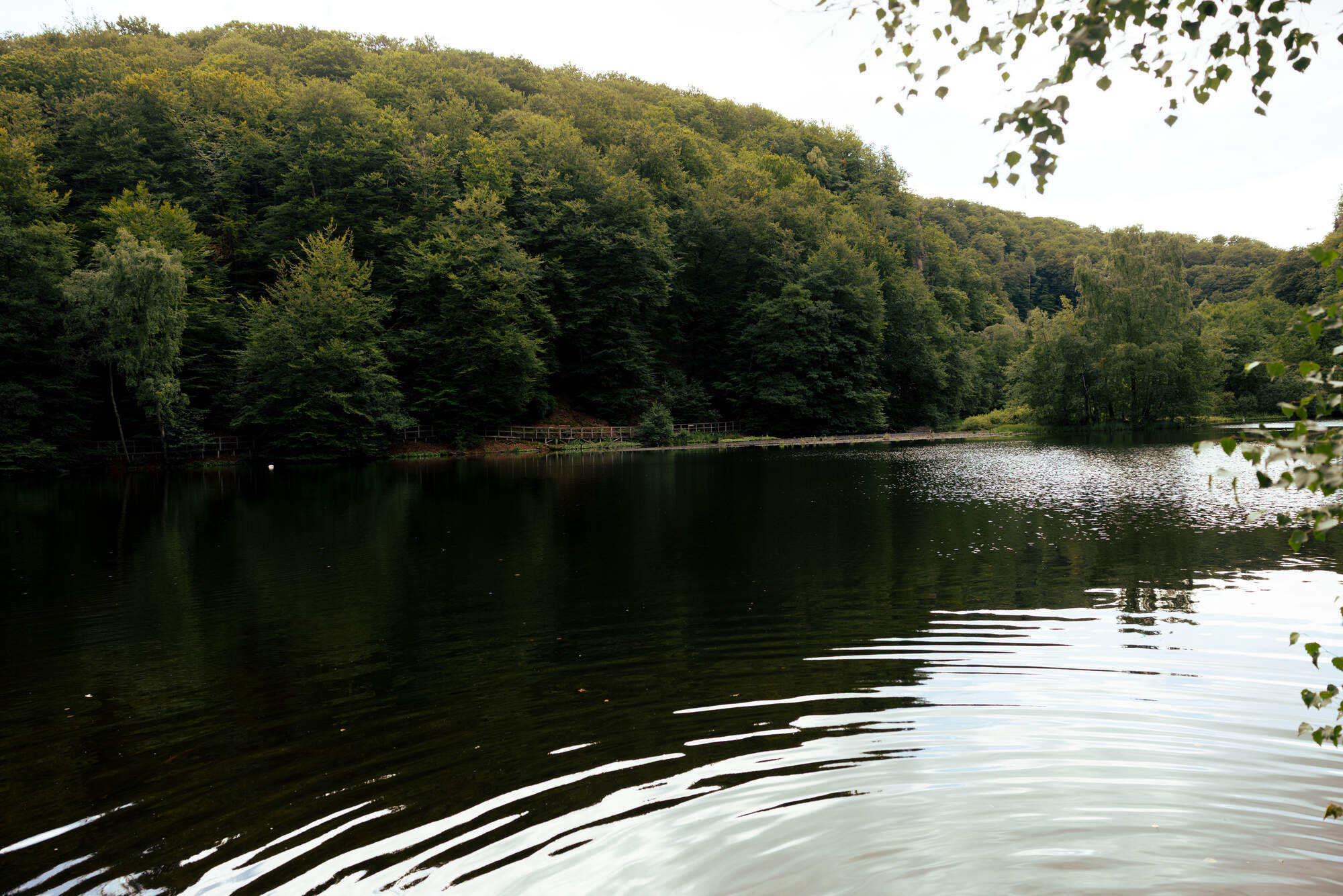
The park is 16km2 with a lake and streams at the bottom and the cliffs rising up to the sides. A variety of hiking trails with different difficulties and elevation profiles lead you through the park. We followed the yellow trail which is one of the reasonably easy ones. It is about 5k long, has okayish trails and a short part with steep elevation - so while it not suited for people with any difficulty walking, it is totally doable if you know how to place your feet.
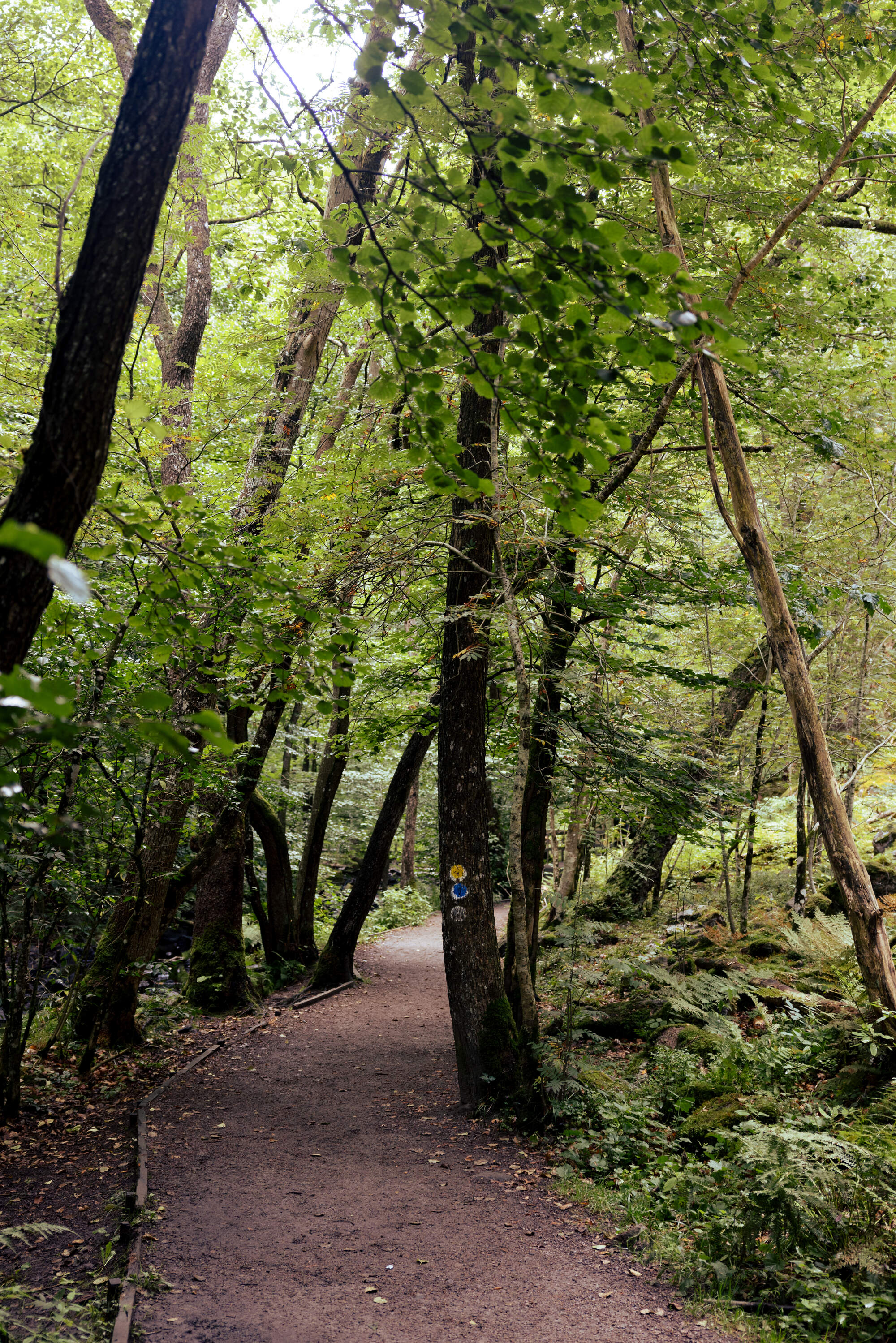
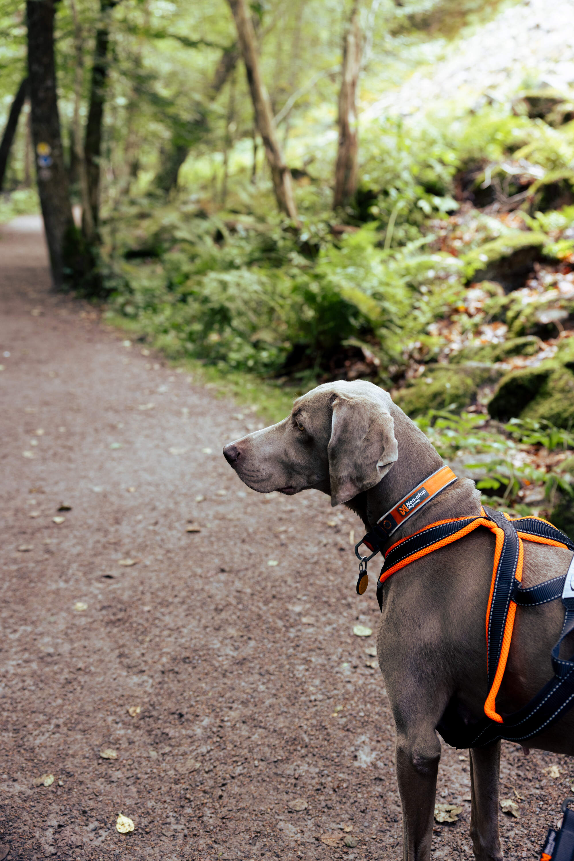
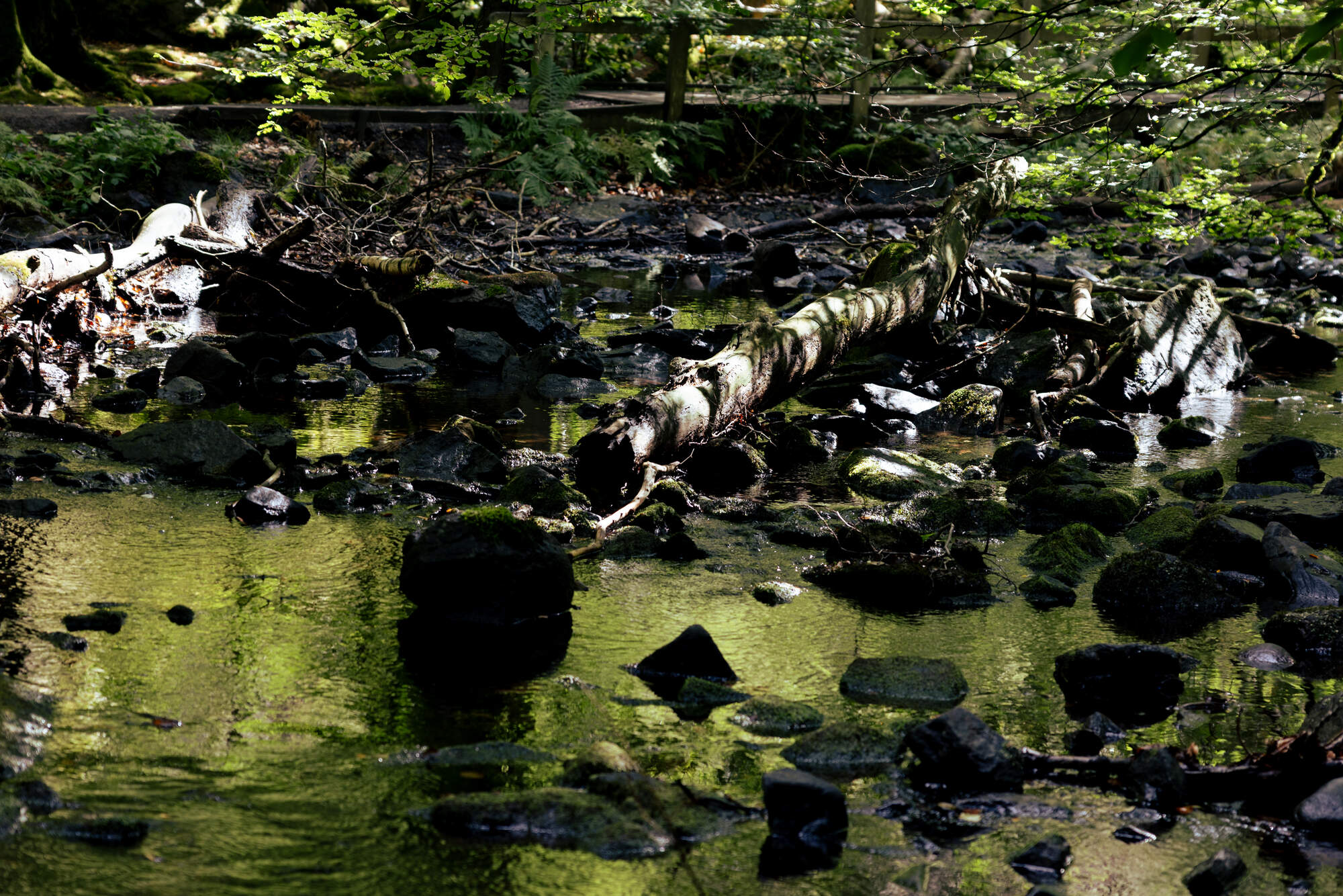
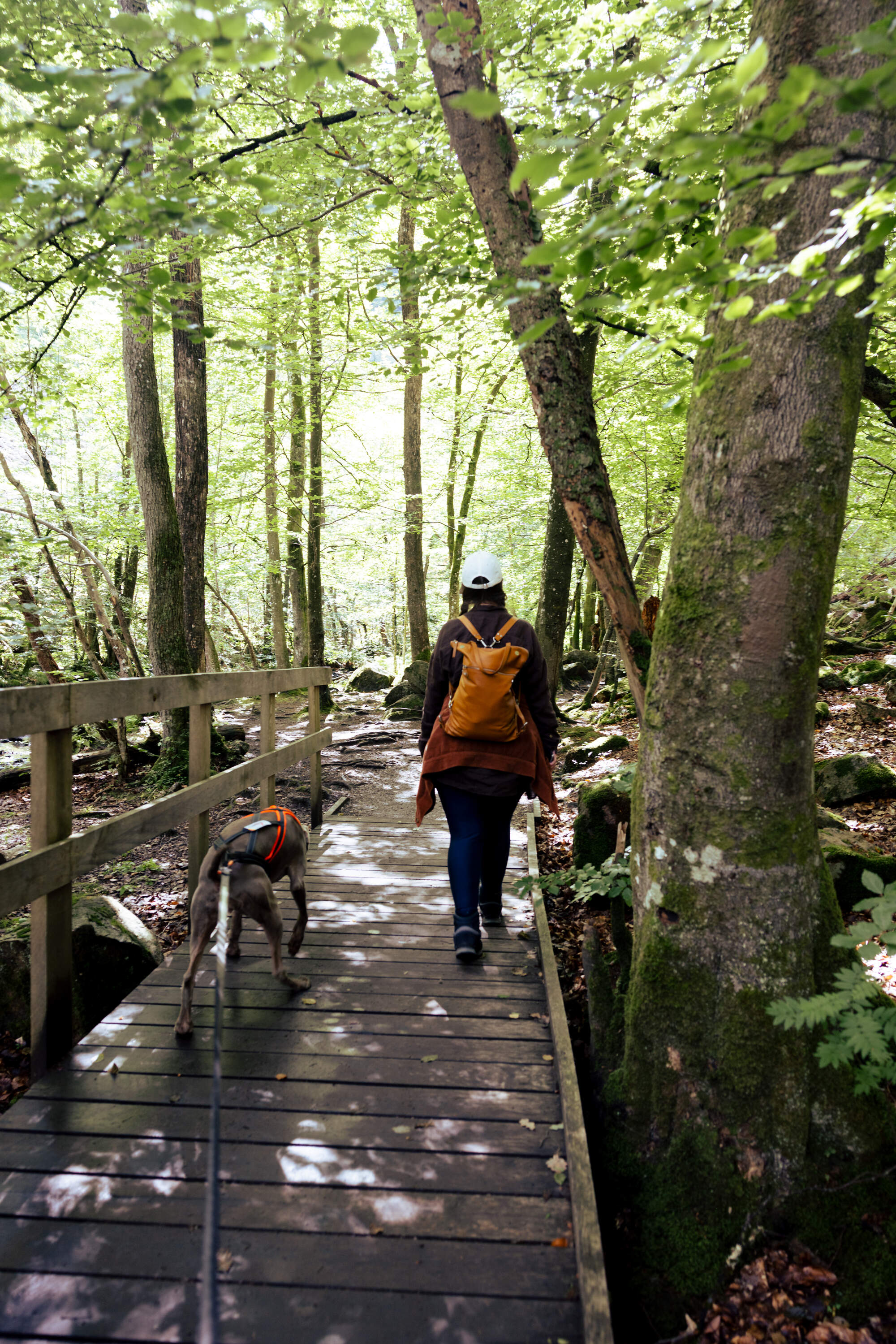
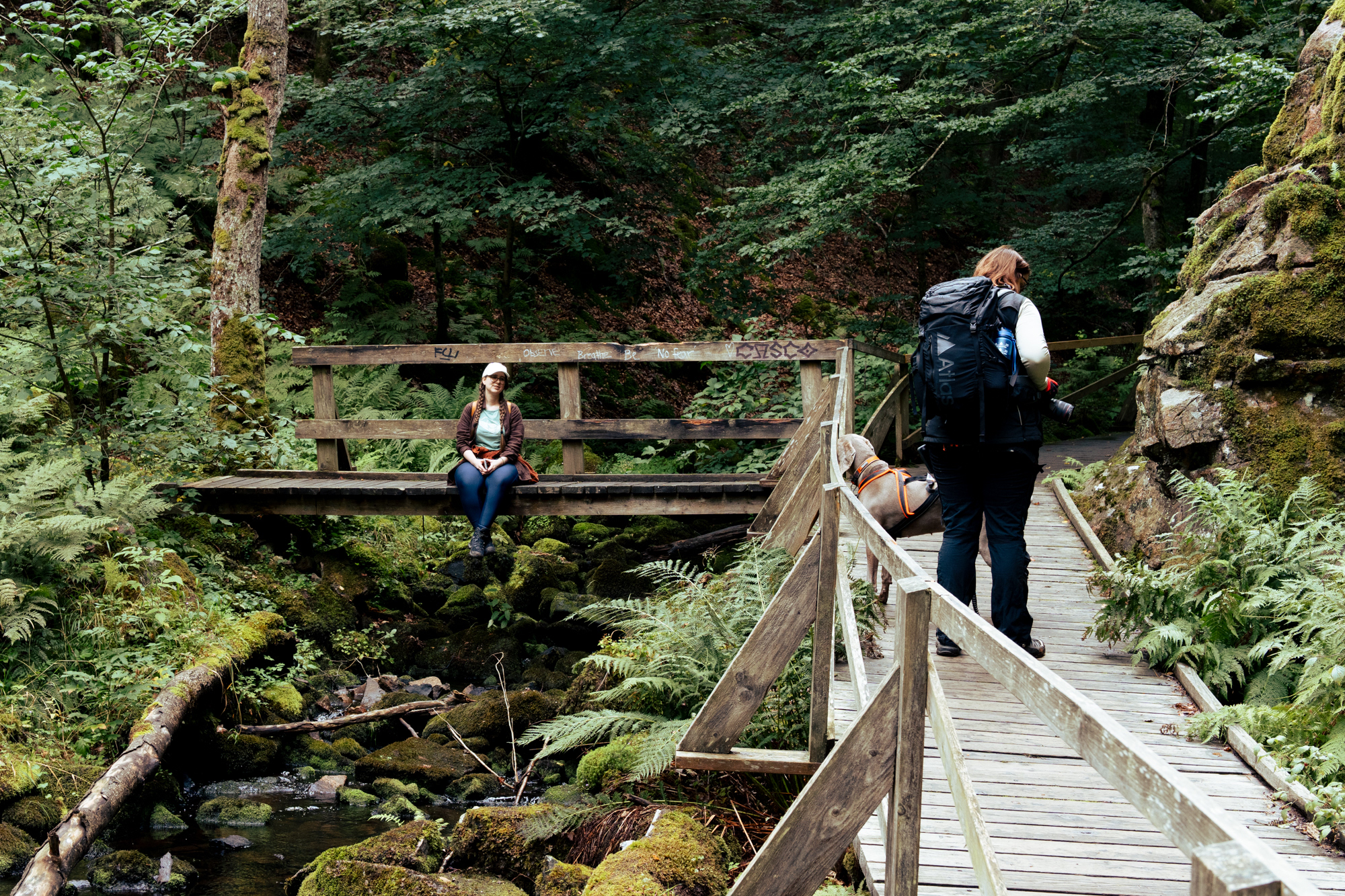
The bottom of the valley was very lush with a lot of moss and fern growing on trees and rocks and a lot of underbush between the trees. The path led along the stream feeding the lake and the whole vibe was just magical and fairy tale like. The green were very saturated and even though it never full on rained, everything glitened with moisture.
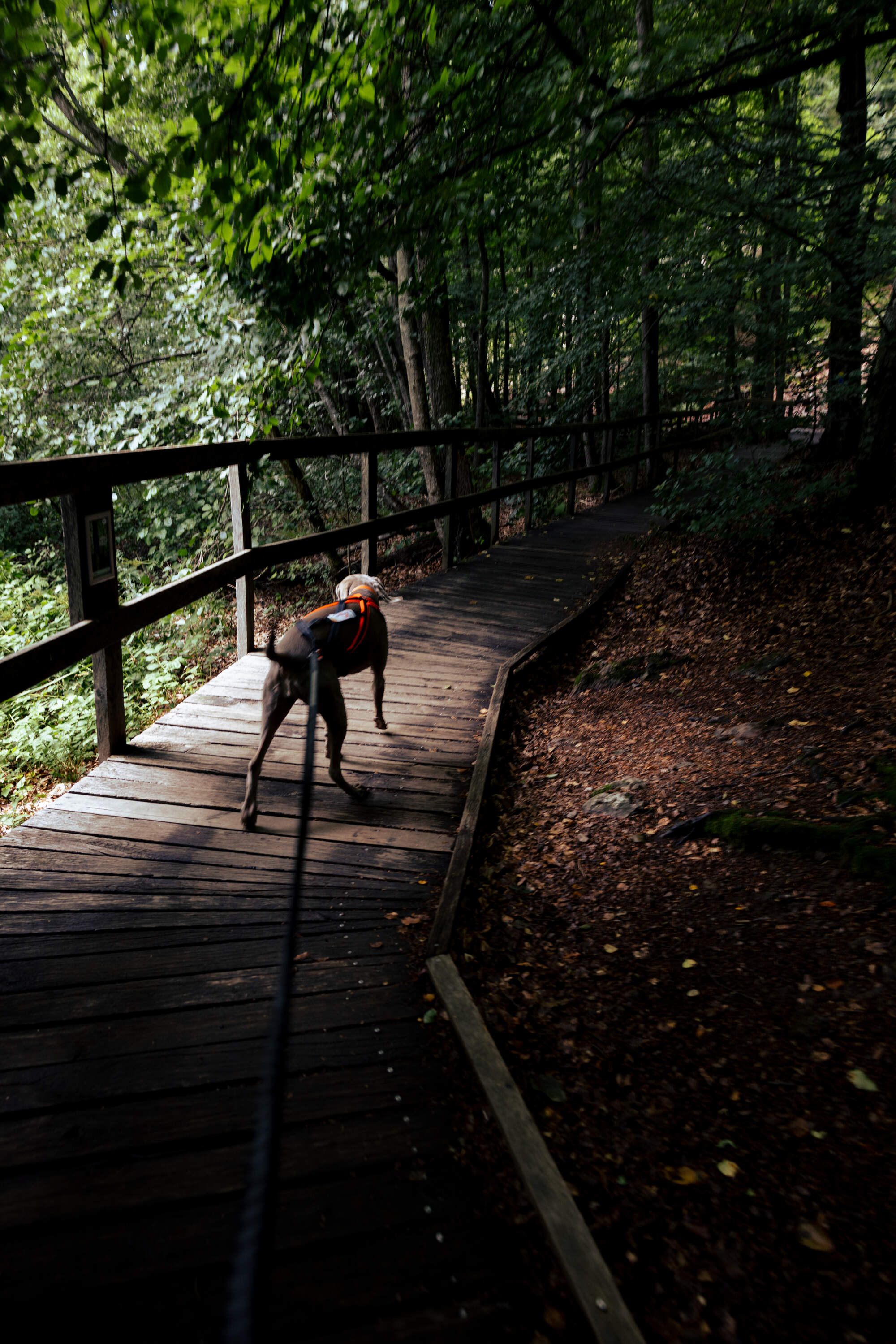
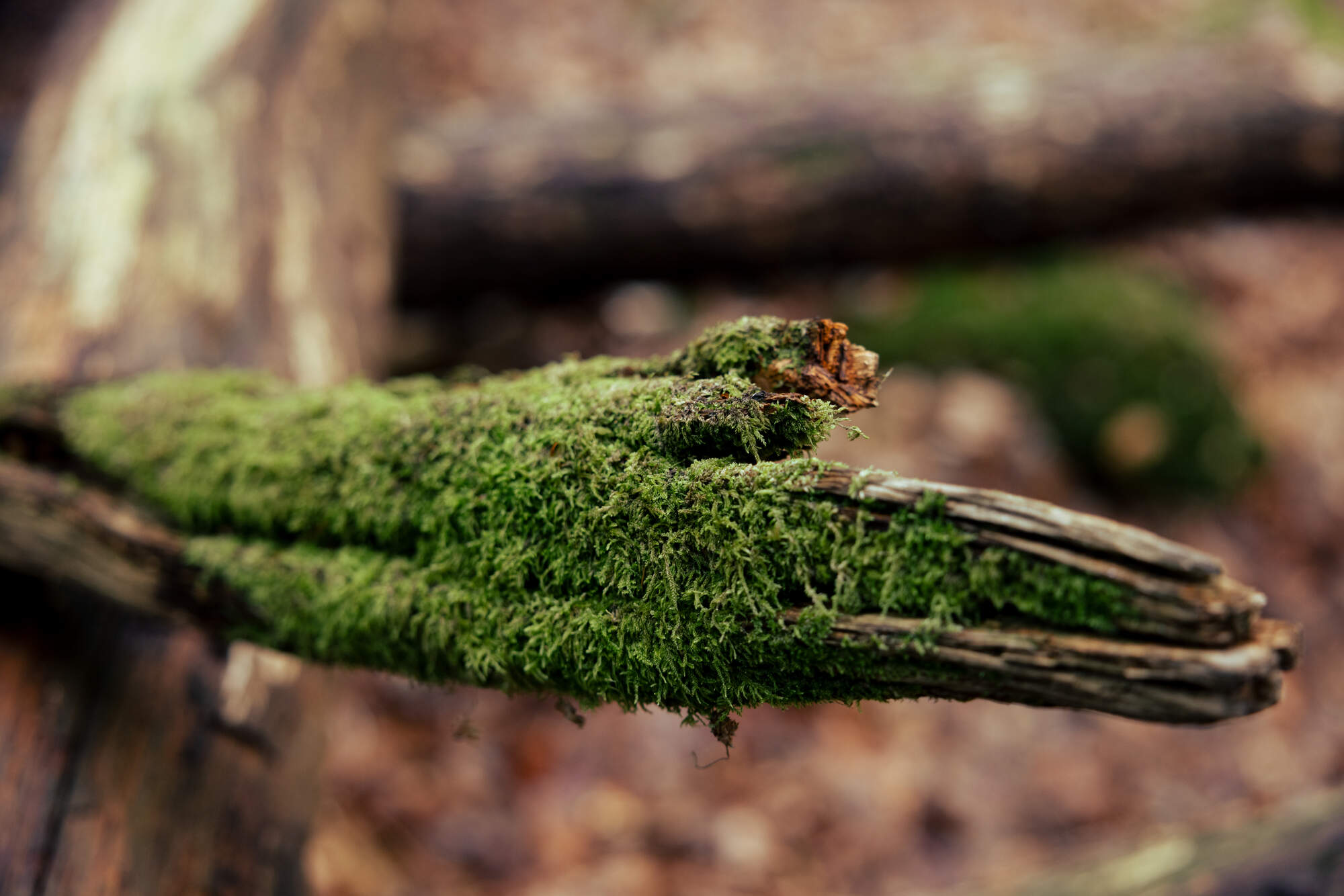
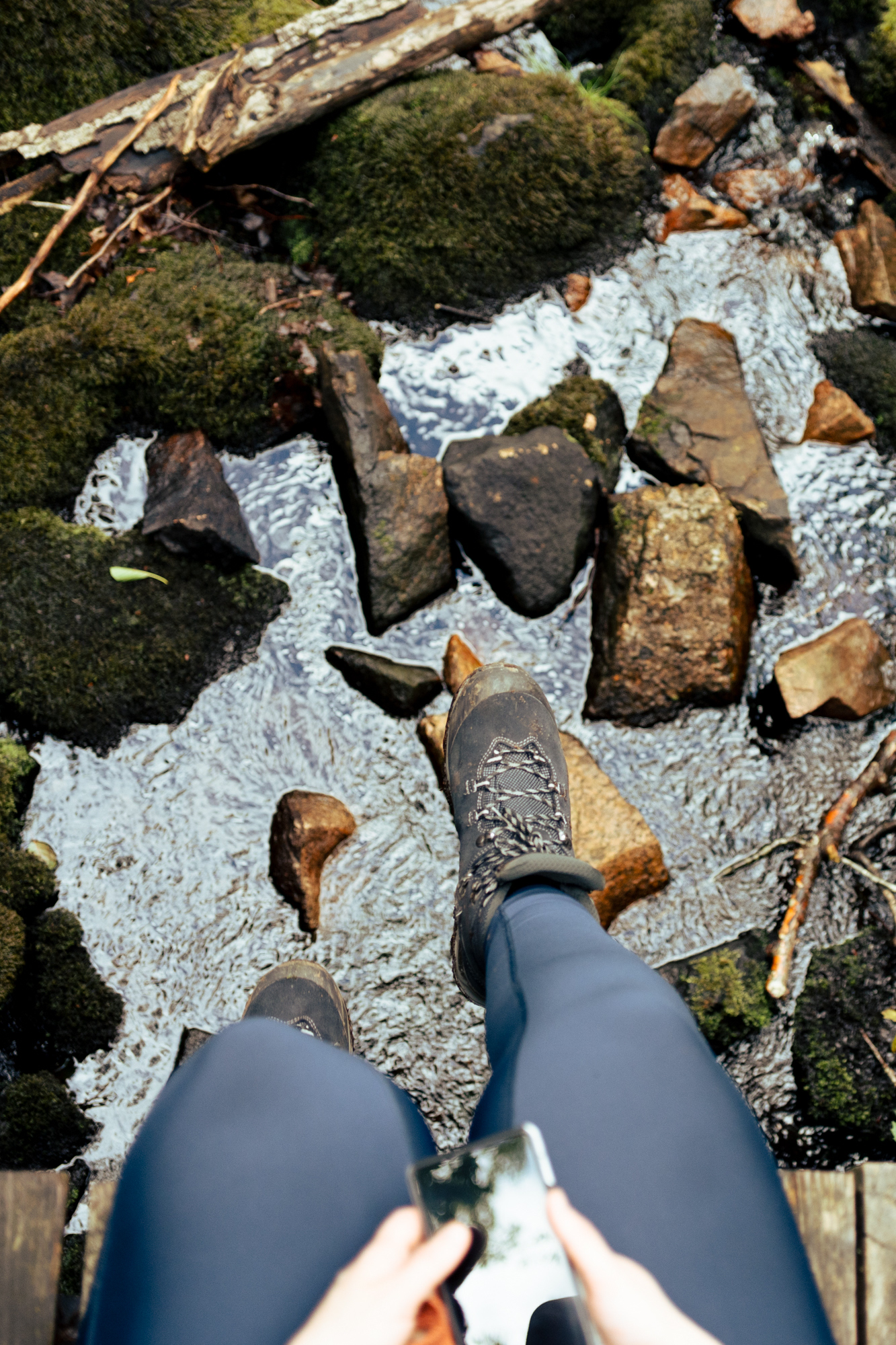
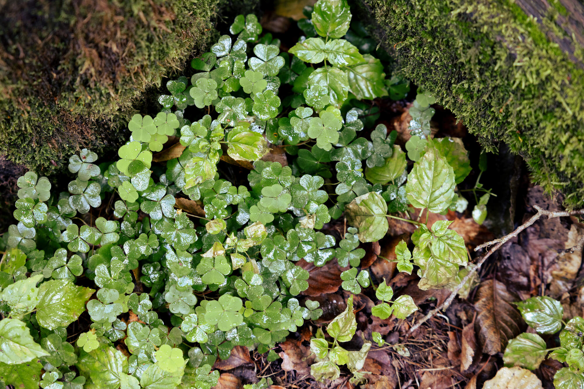
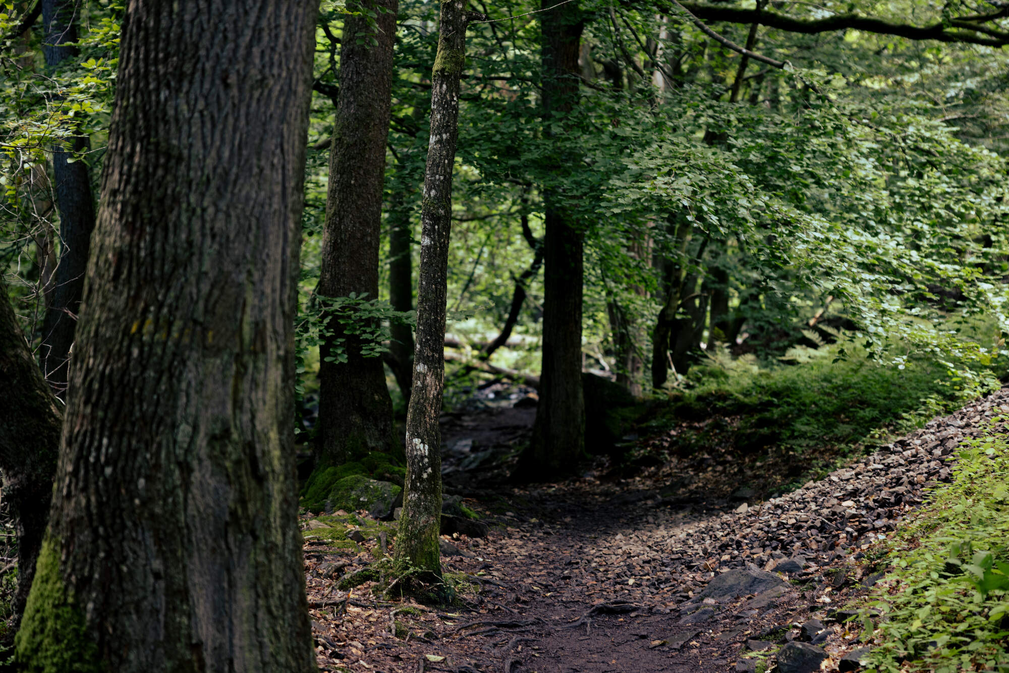
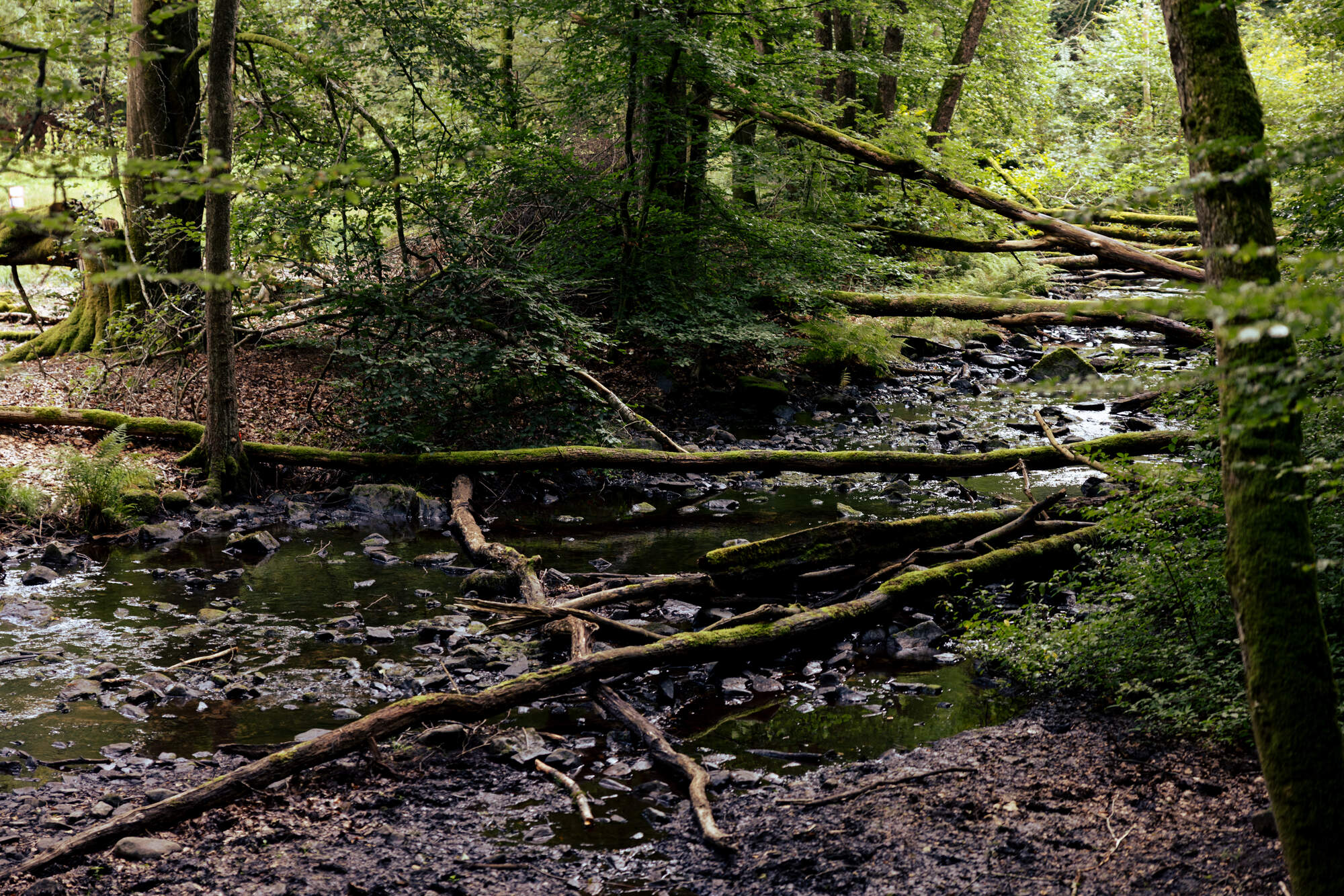
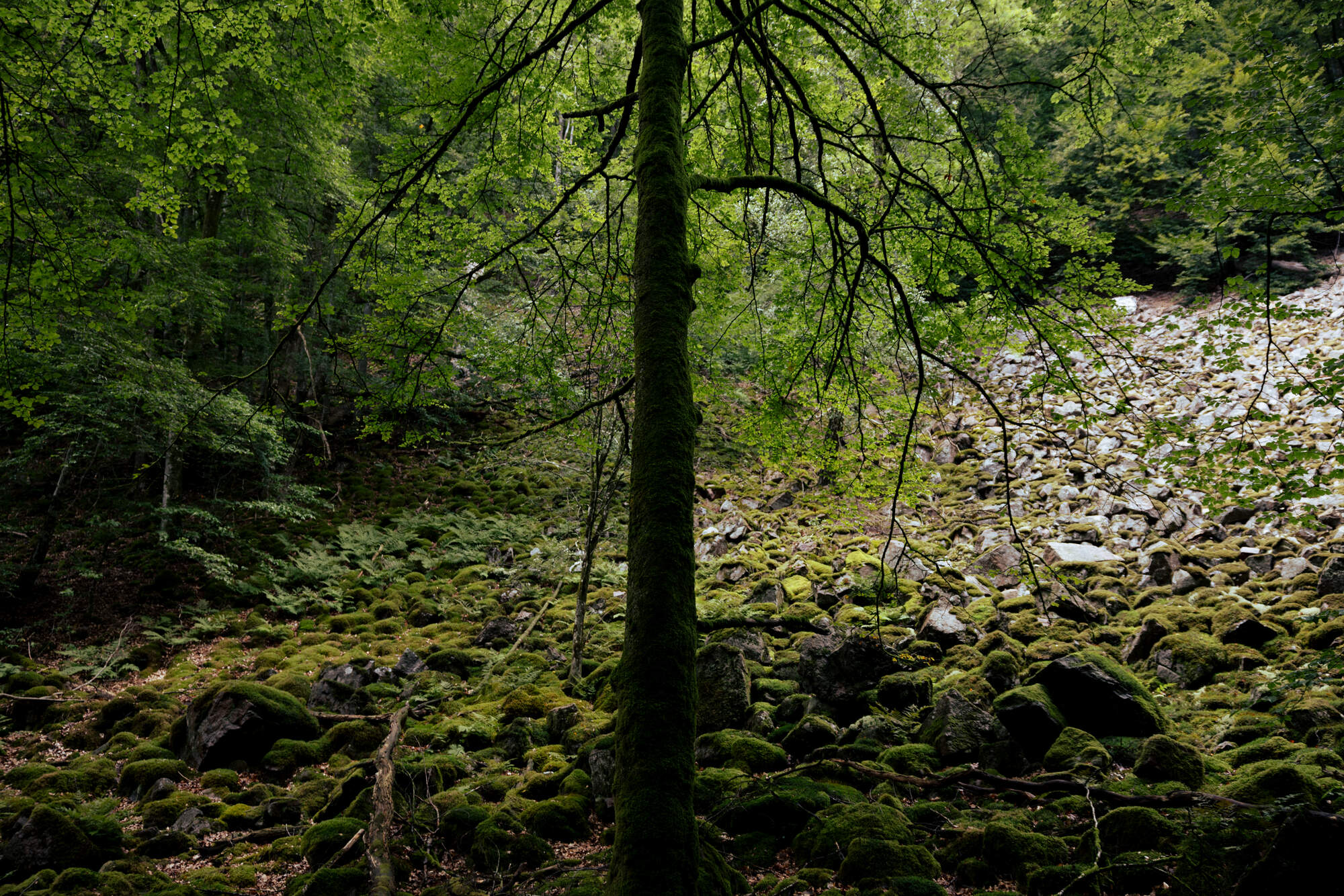
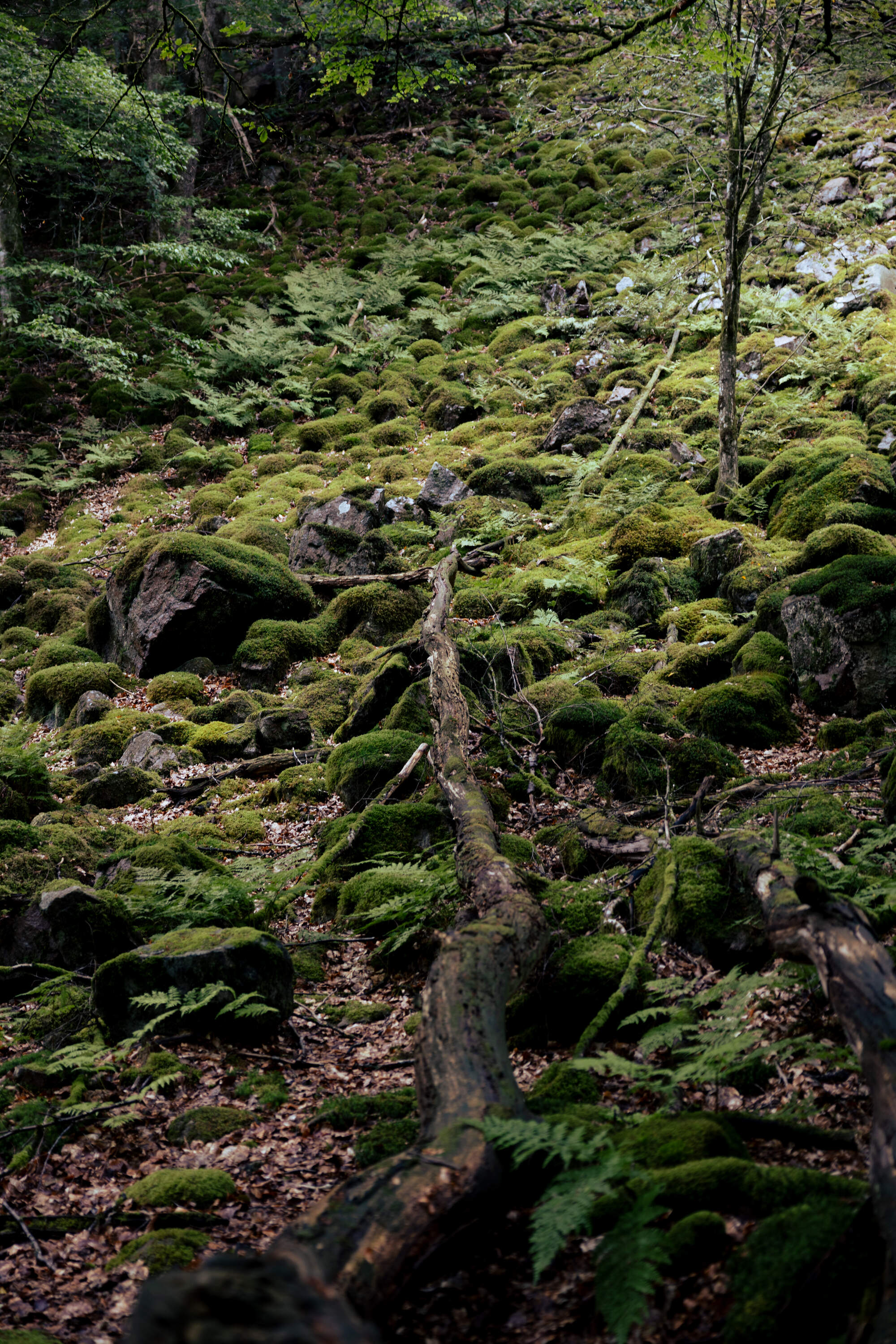
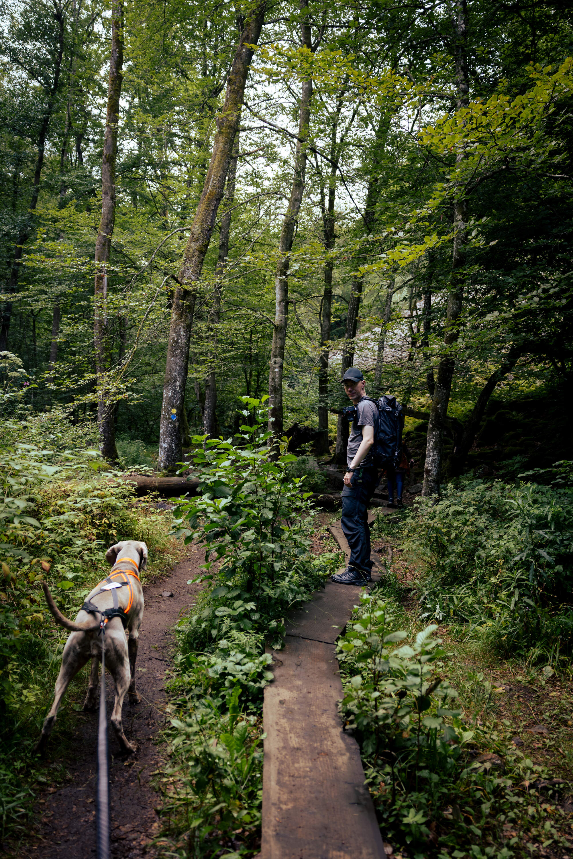
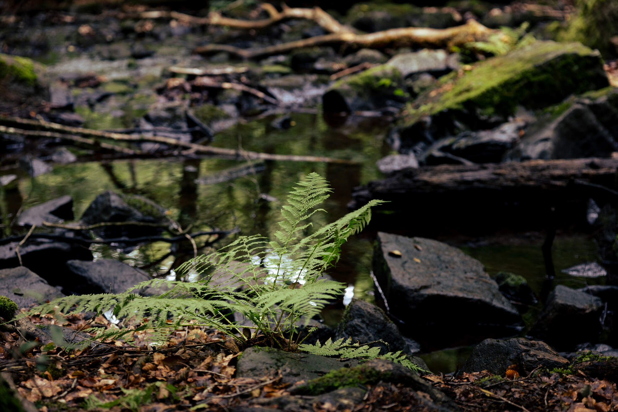
We were in the park in the mid of August at noon, so the light wasn’t great (luckily it was cloudy most of the time). However, we can imagine how magical it must be in the early or late hours or with the fog and colors of autumn. Sounds like we need to come here again and start driving a bit earlier next time …
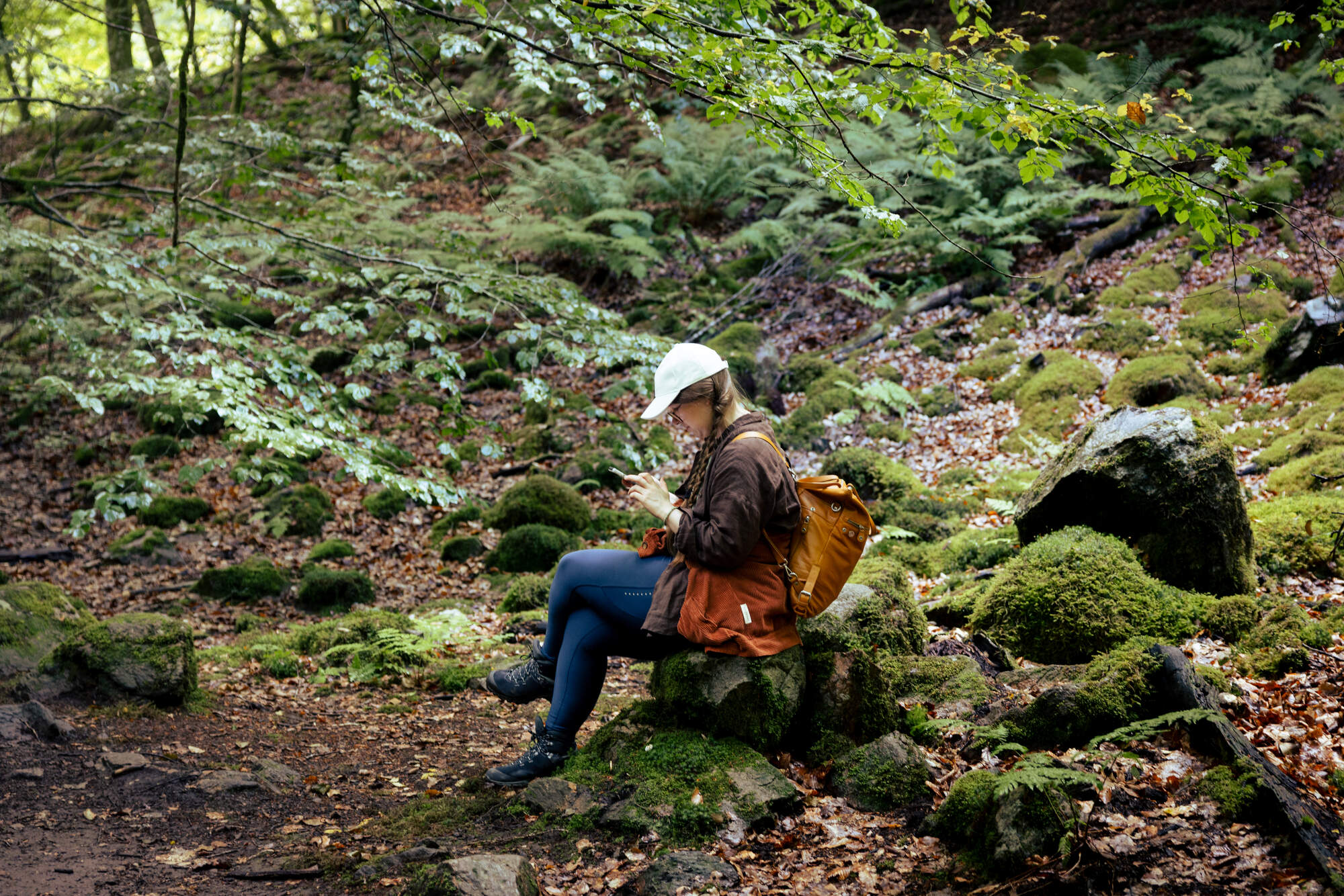
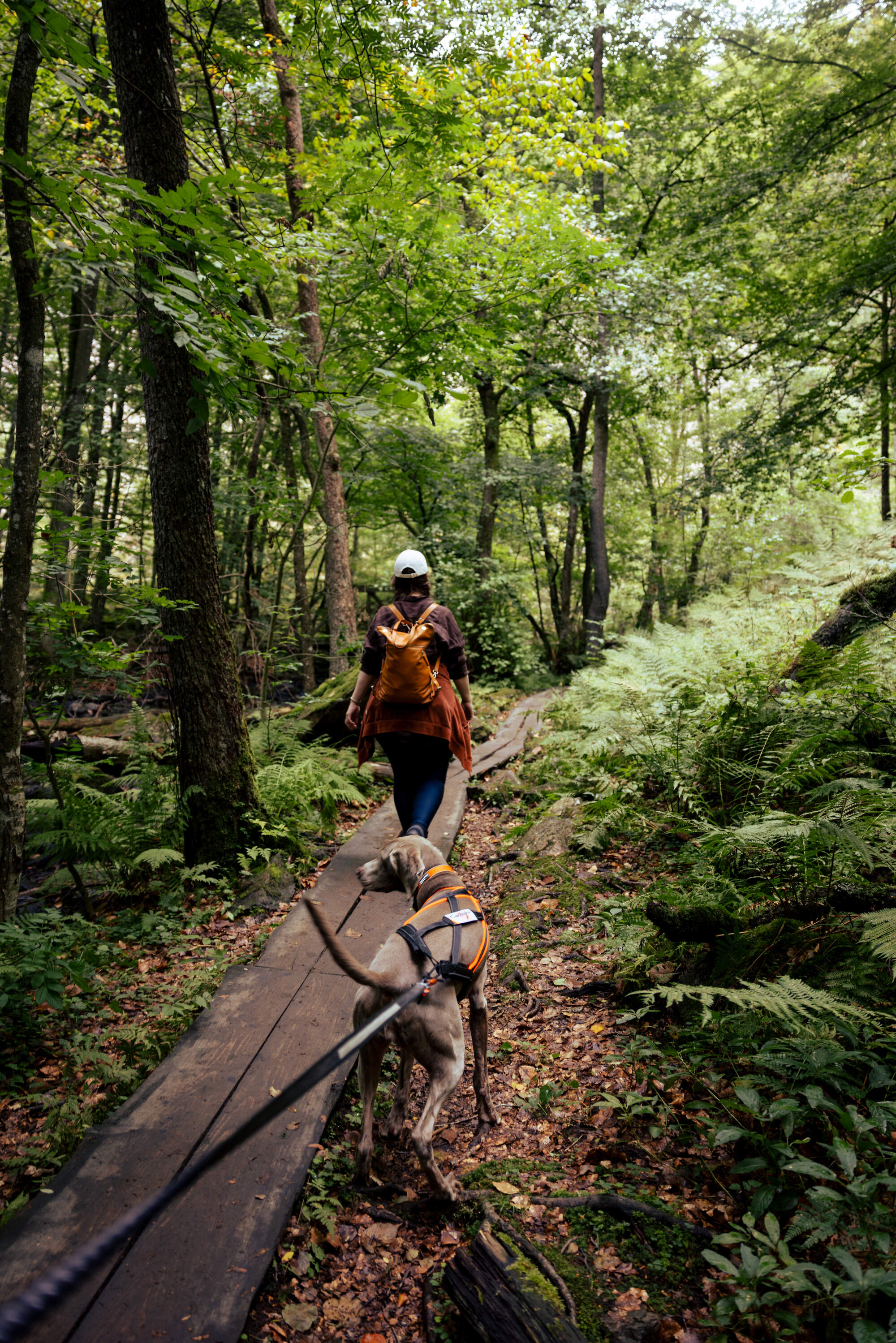
I’s giving similar vibes to when we were hunting waterfalls on Madeira and finding some really viby forests and funky trees there, too. Everything was just more moist and misty on Madeira.
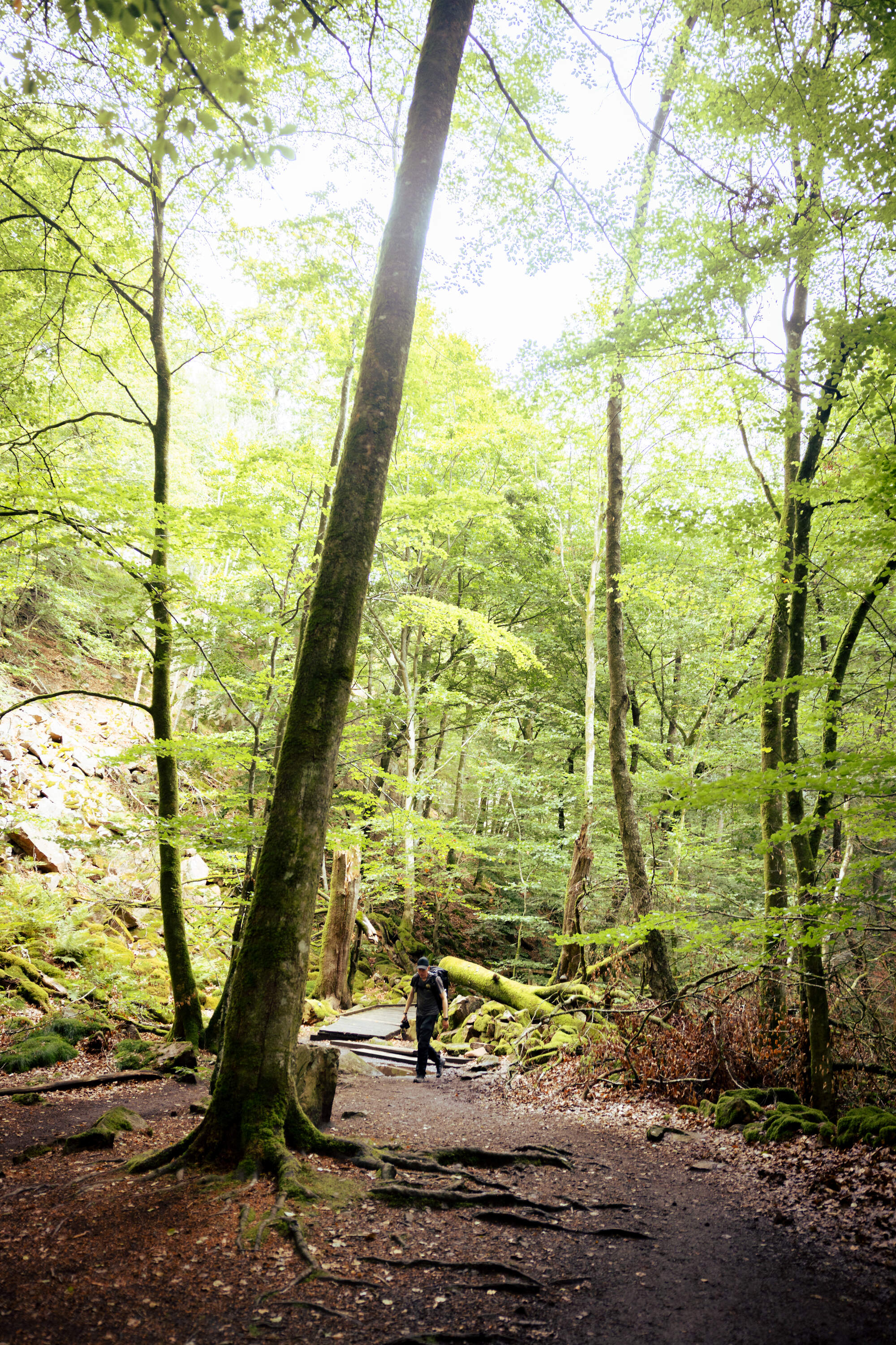
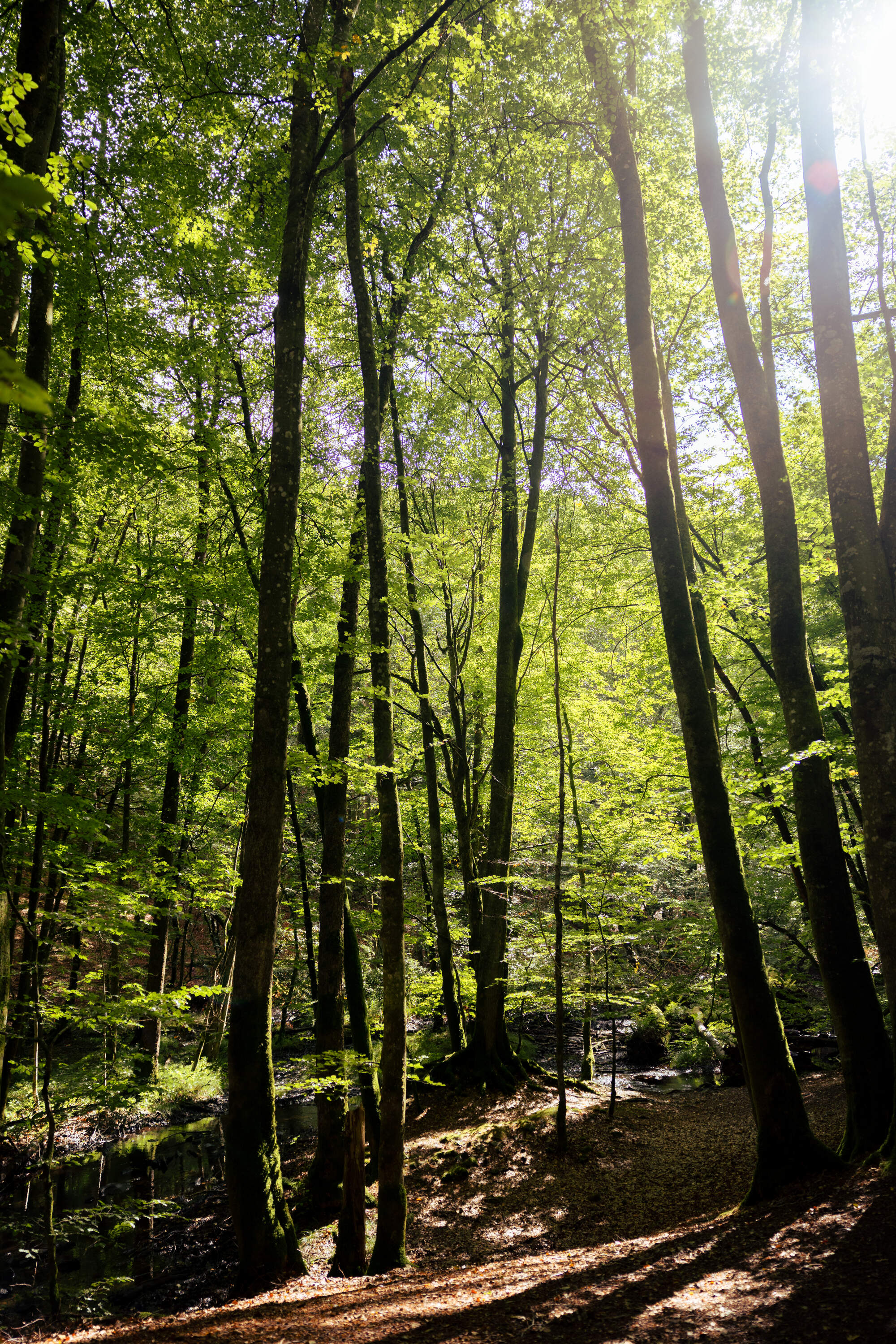
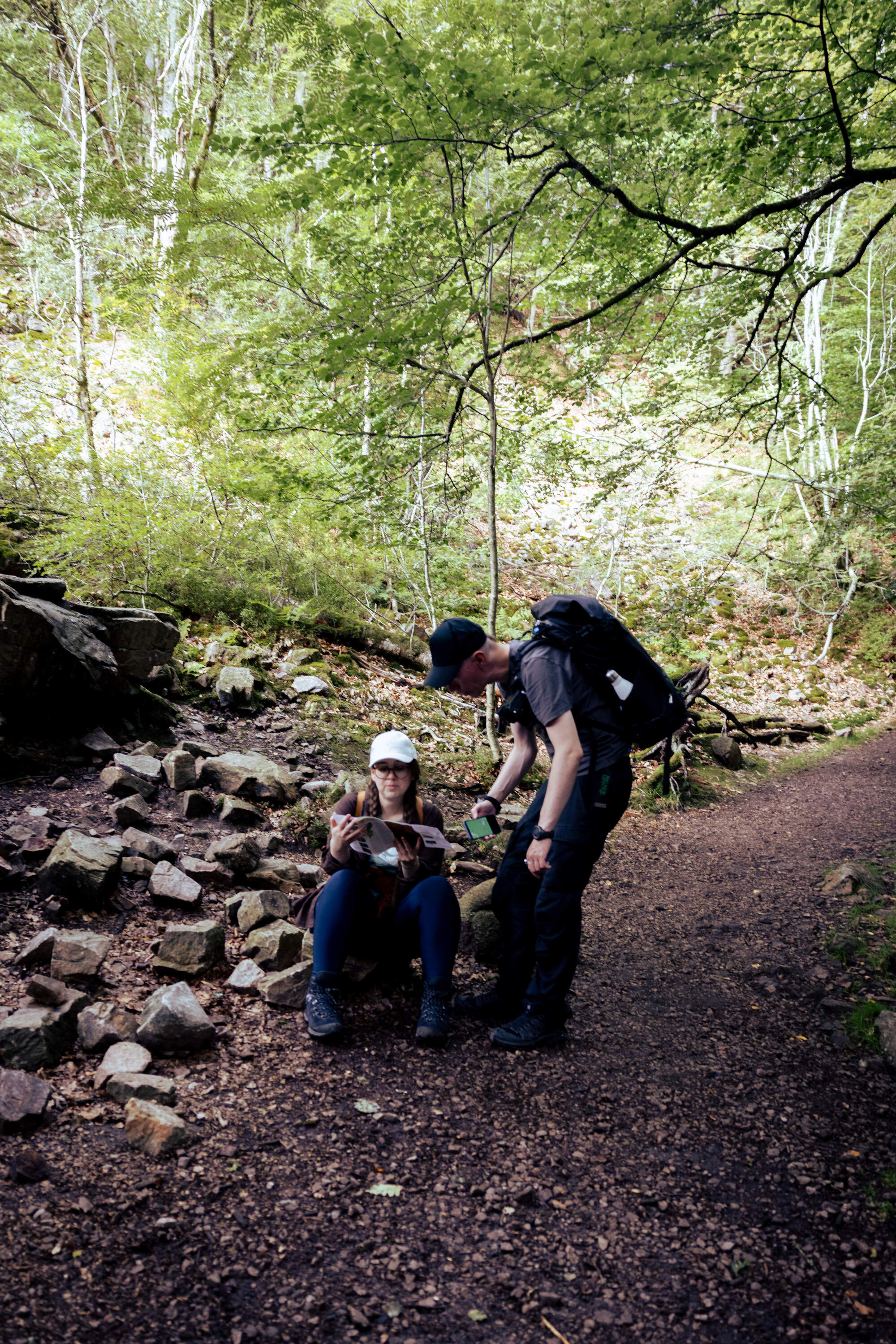
Checking on the map whether we really need to start climbing the steep cliff or whether there are trails through the valley. Turns out: up was the way we had to go!
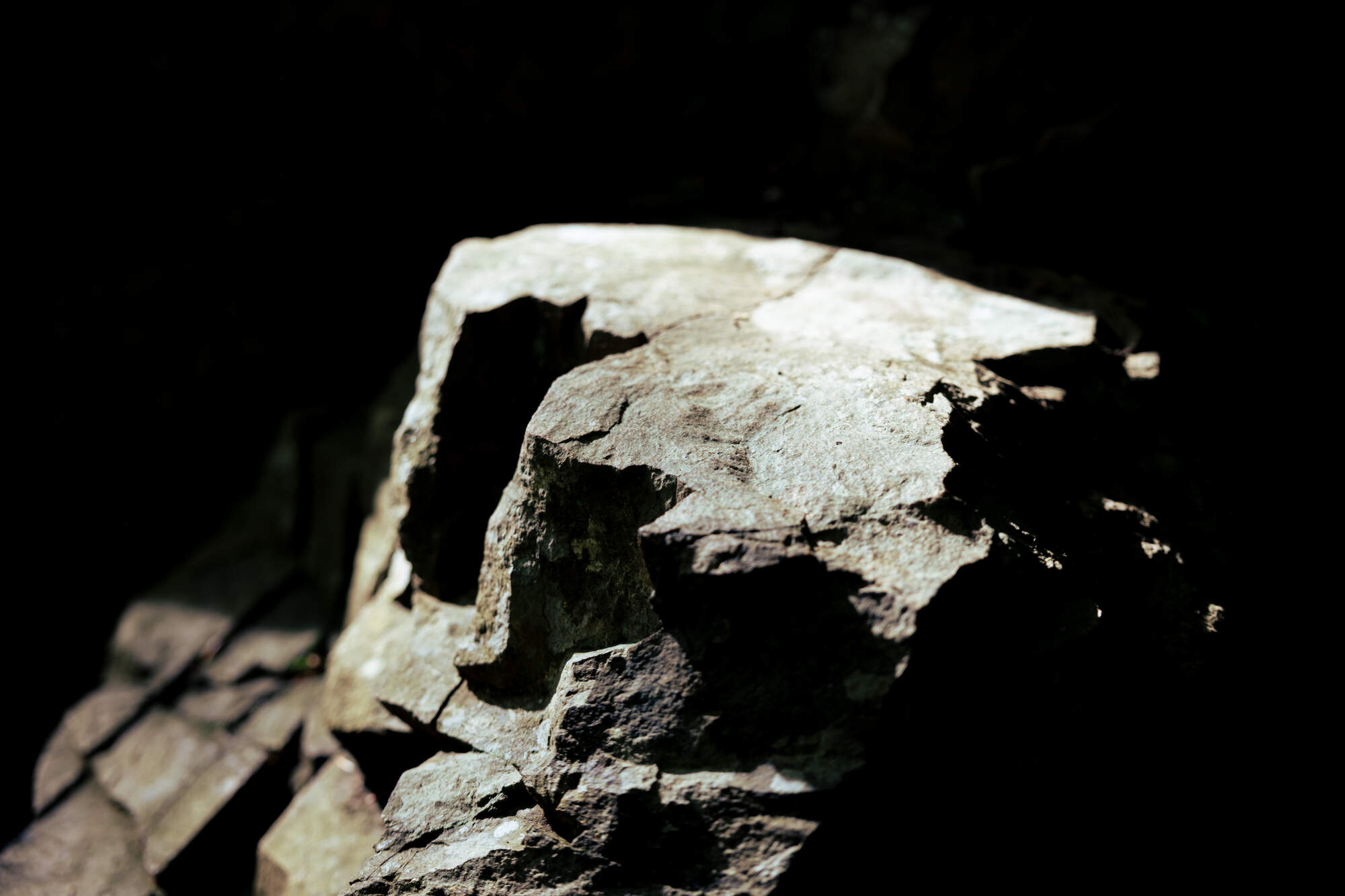
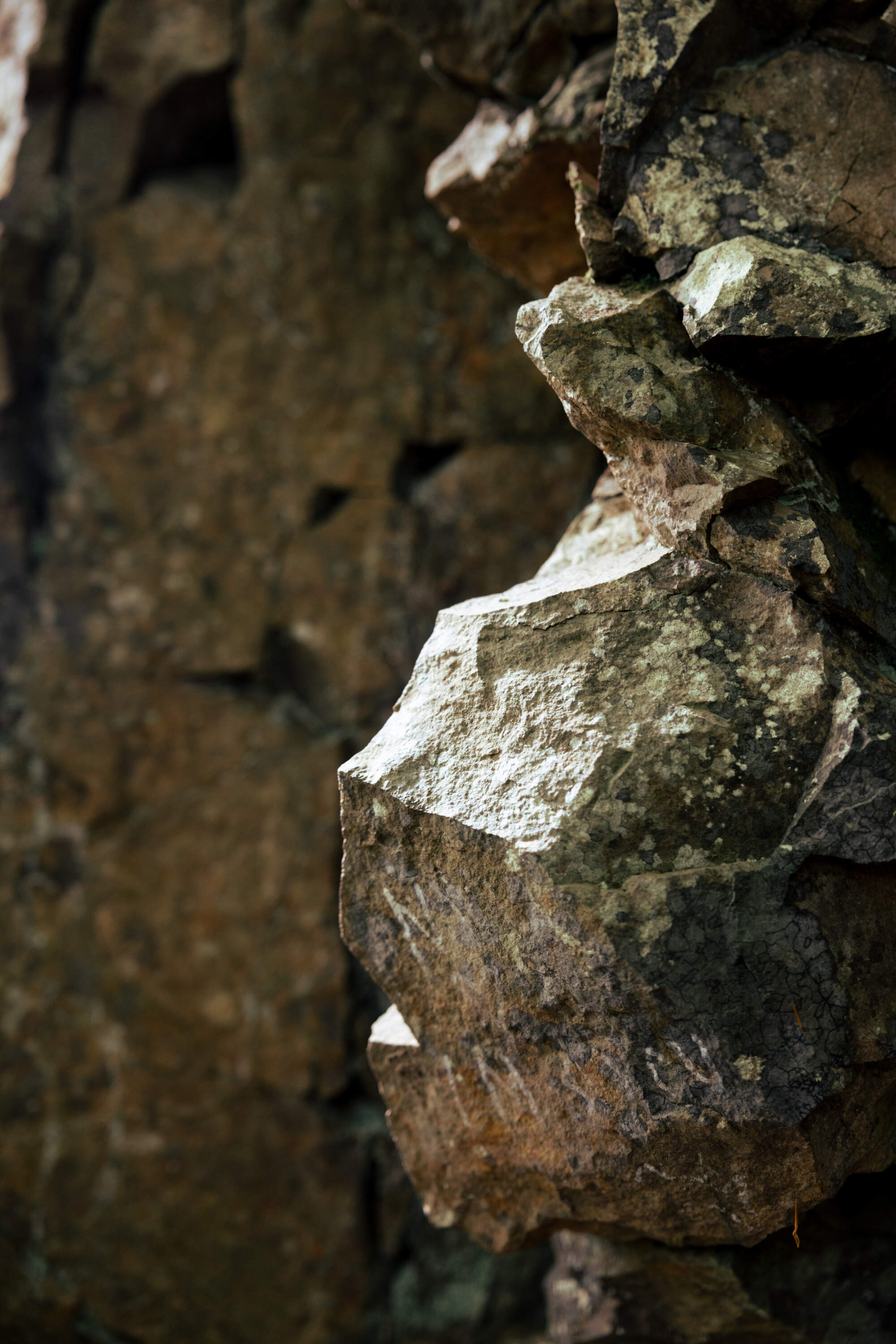
The sun was peaking through which meant cool shadows on the rocks!
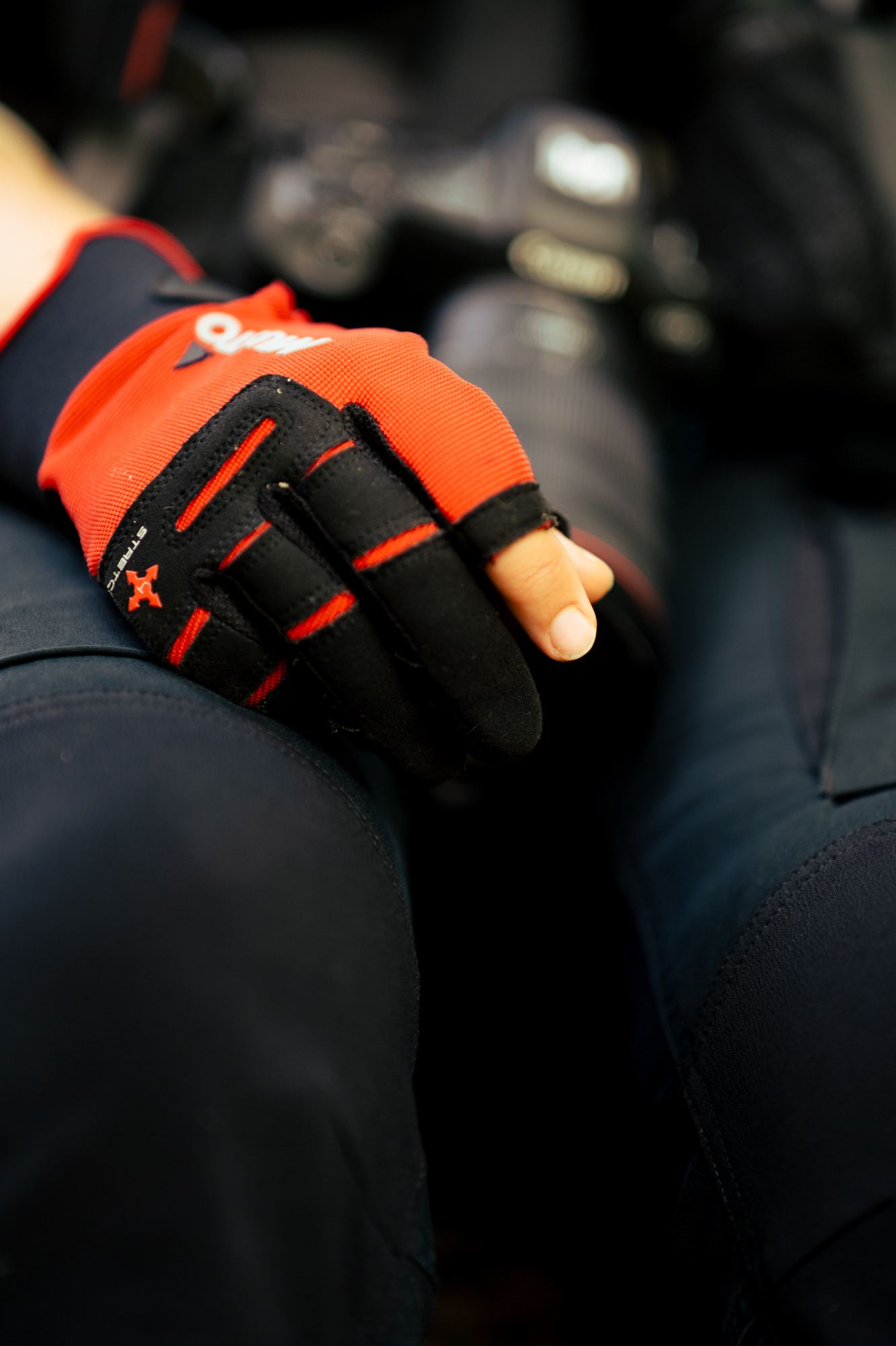
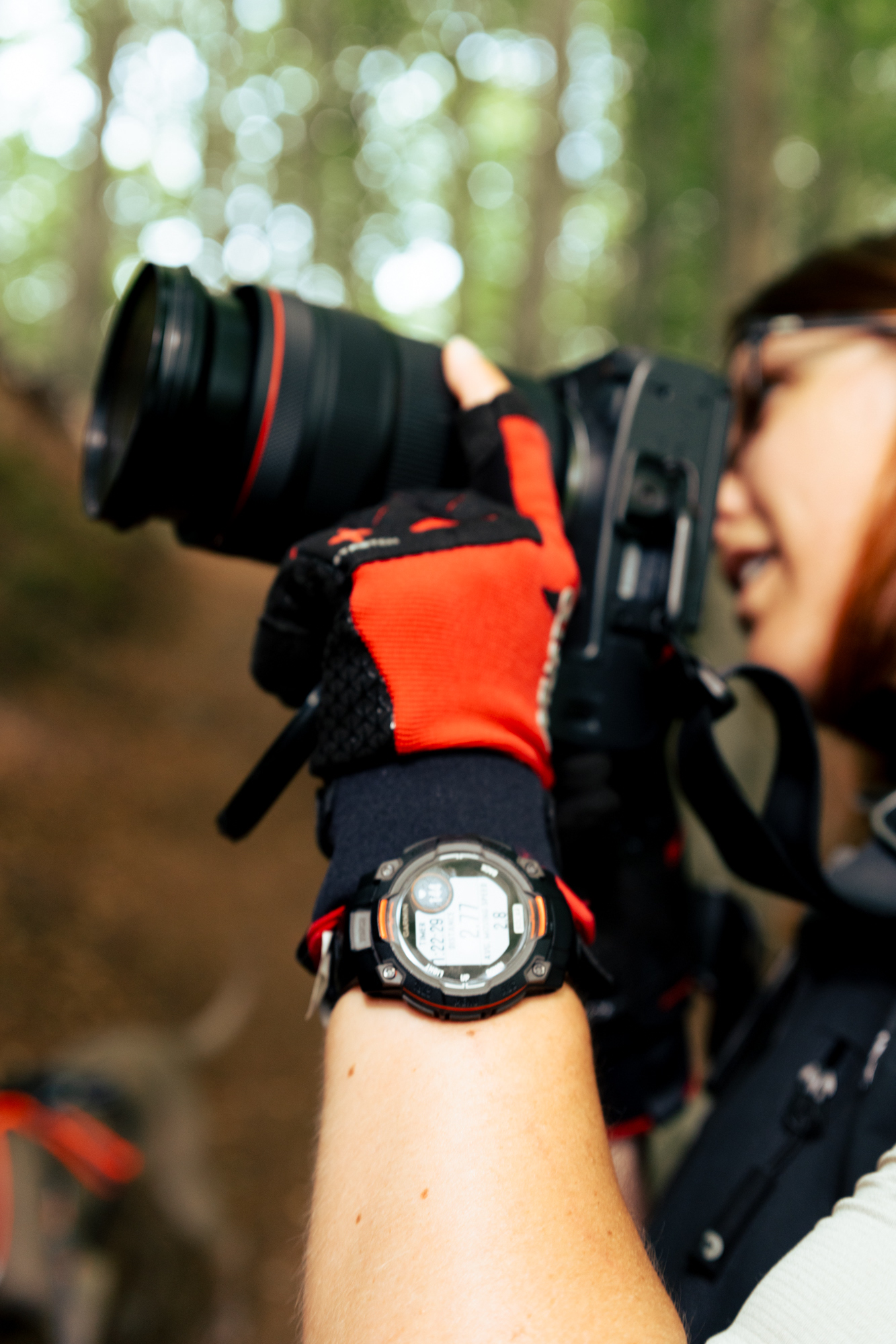
We were obviously dressed and geared up for the occasion, even with some very photo and dog handling compatible gloves!
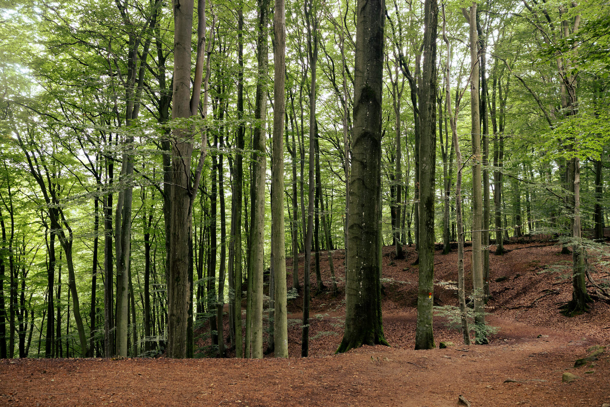
On the top of the cliff, the flora was definetly less lush. No underbush, no fern or moss, only large trees. It was also relatively flat and looking more like a “regular forest” to walk through, so we barely have any photos from here.
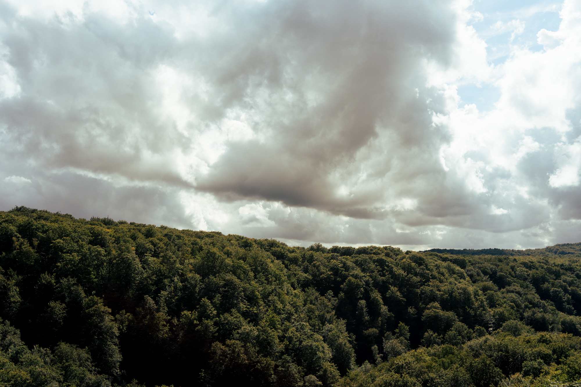
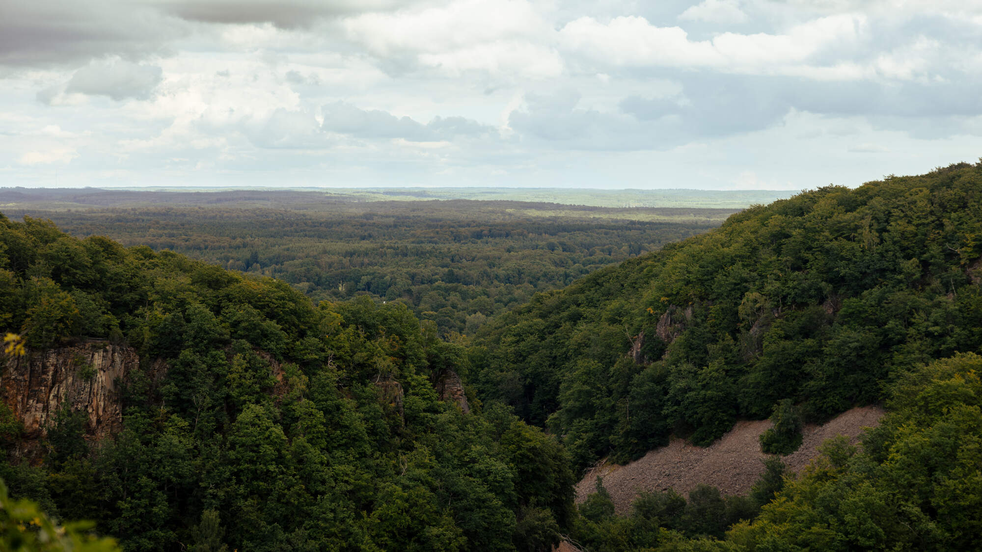
What you did have up there was a great view over the ravines, and the park’s highest point Kopparhatten. Which we learned you could drive up to and thus avoid the elevation climb.
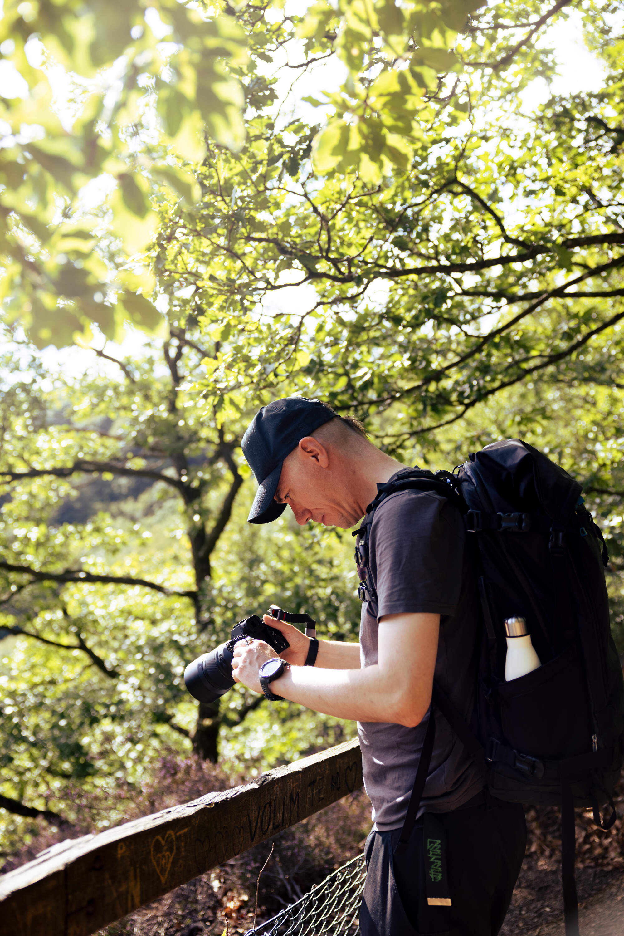
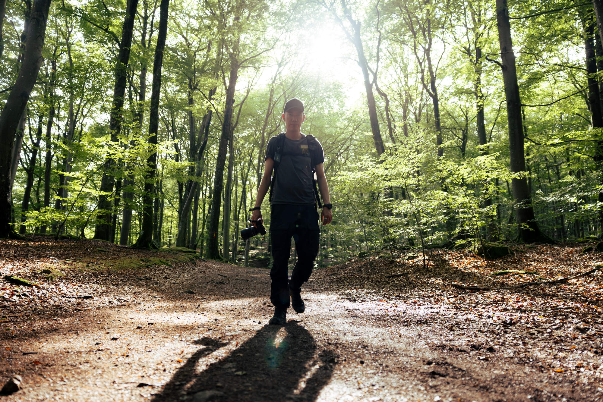
Luckily, going back down to the water at the end of the loop was not quite as steep and quite enjoyable.
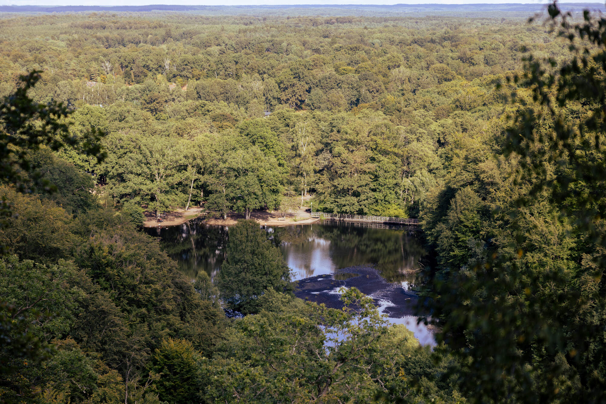
The lake is at the main entrance of the park with a big parking lot, public toilets and a little café with surprisingly good coffee and focaccias (check their opening hours!).
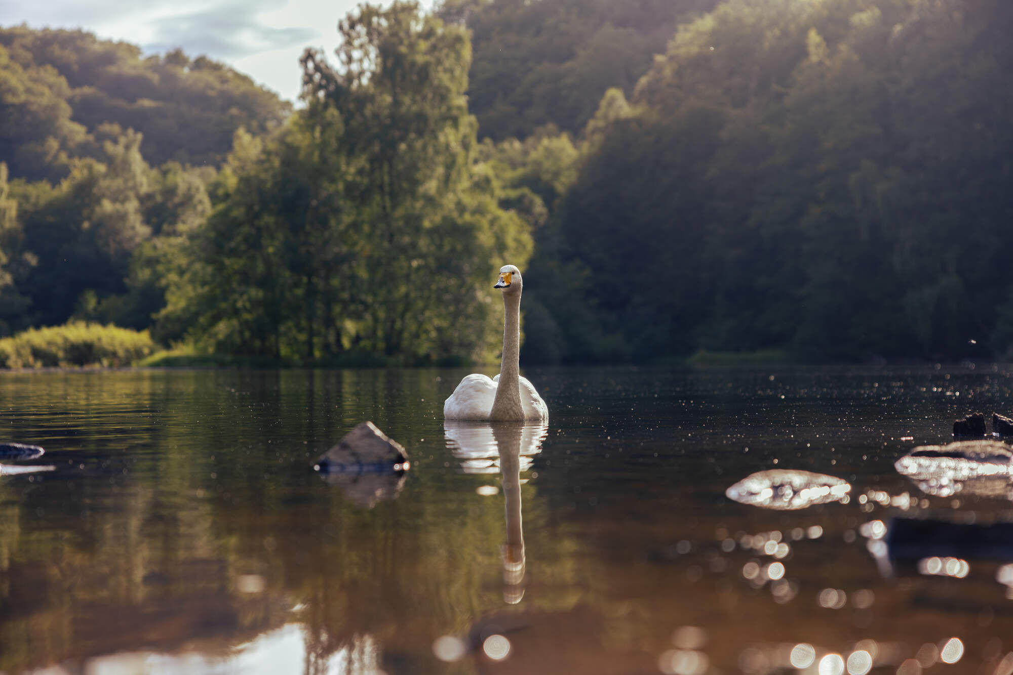
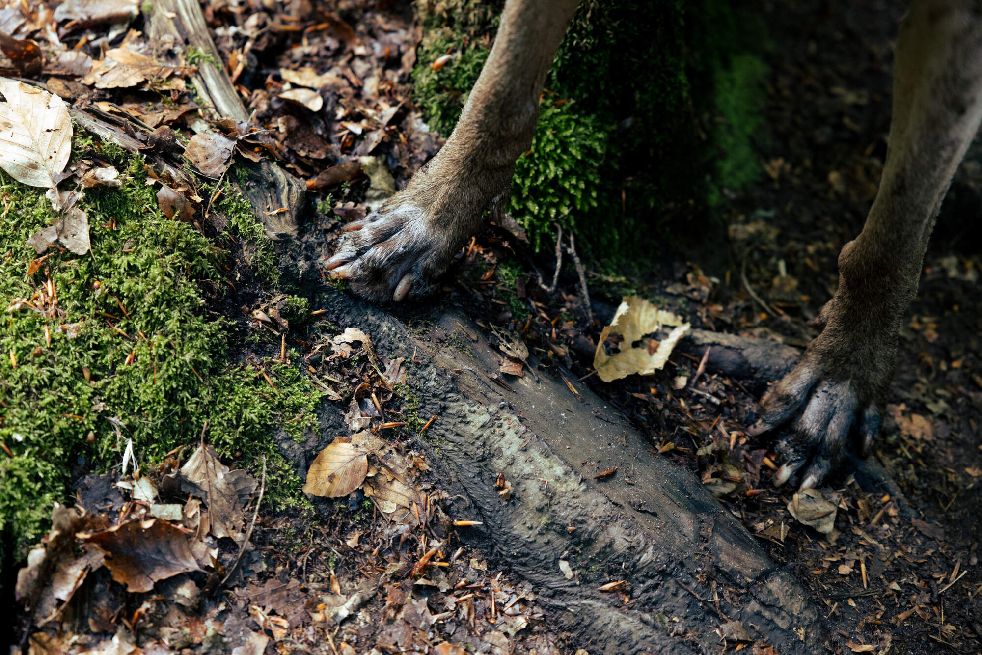
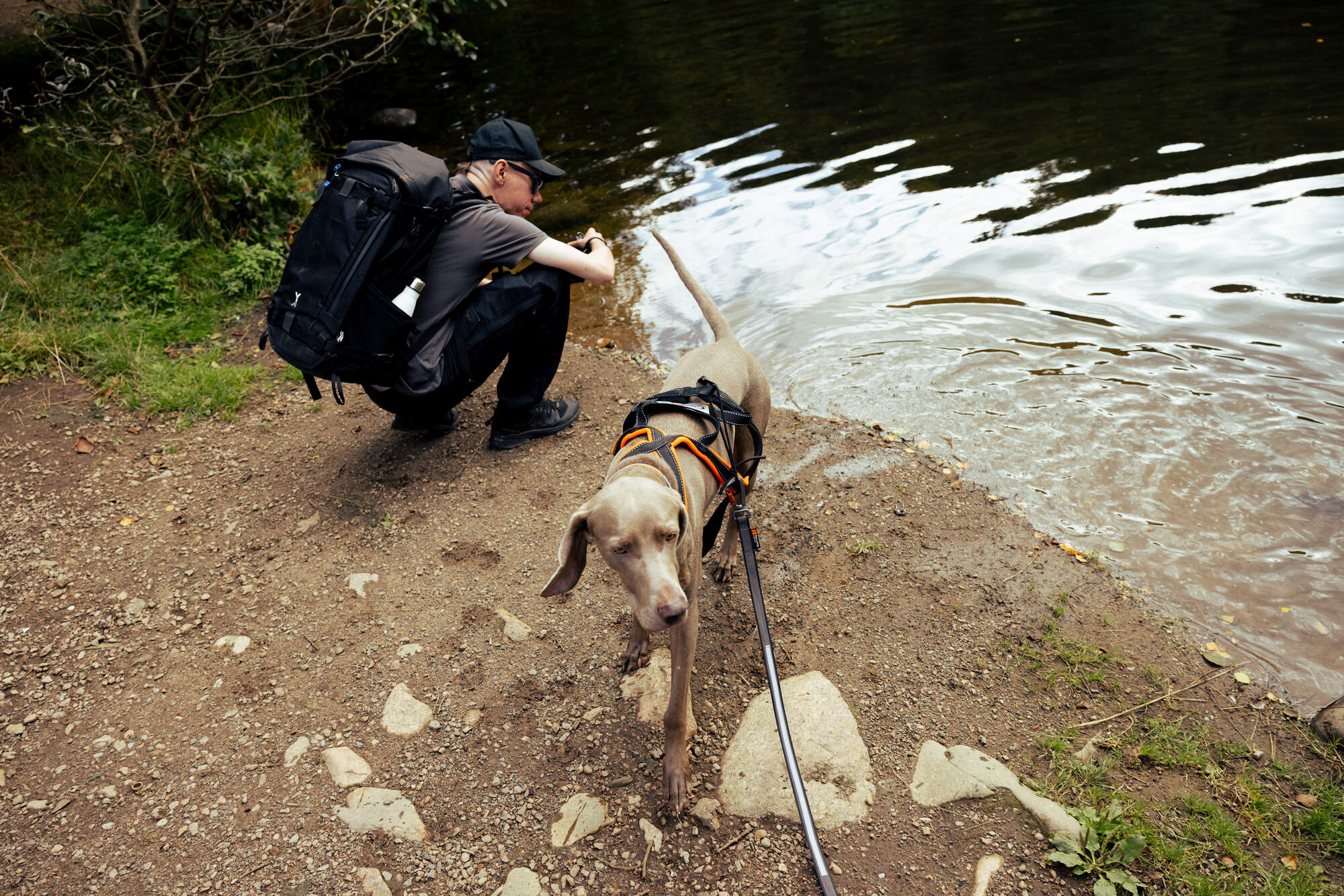
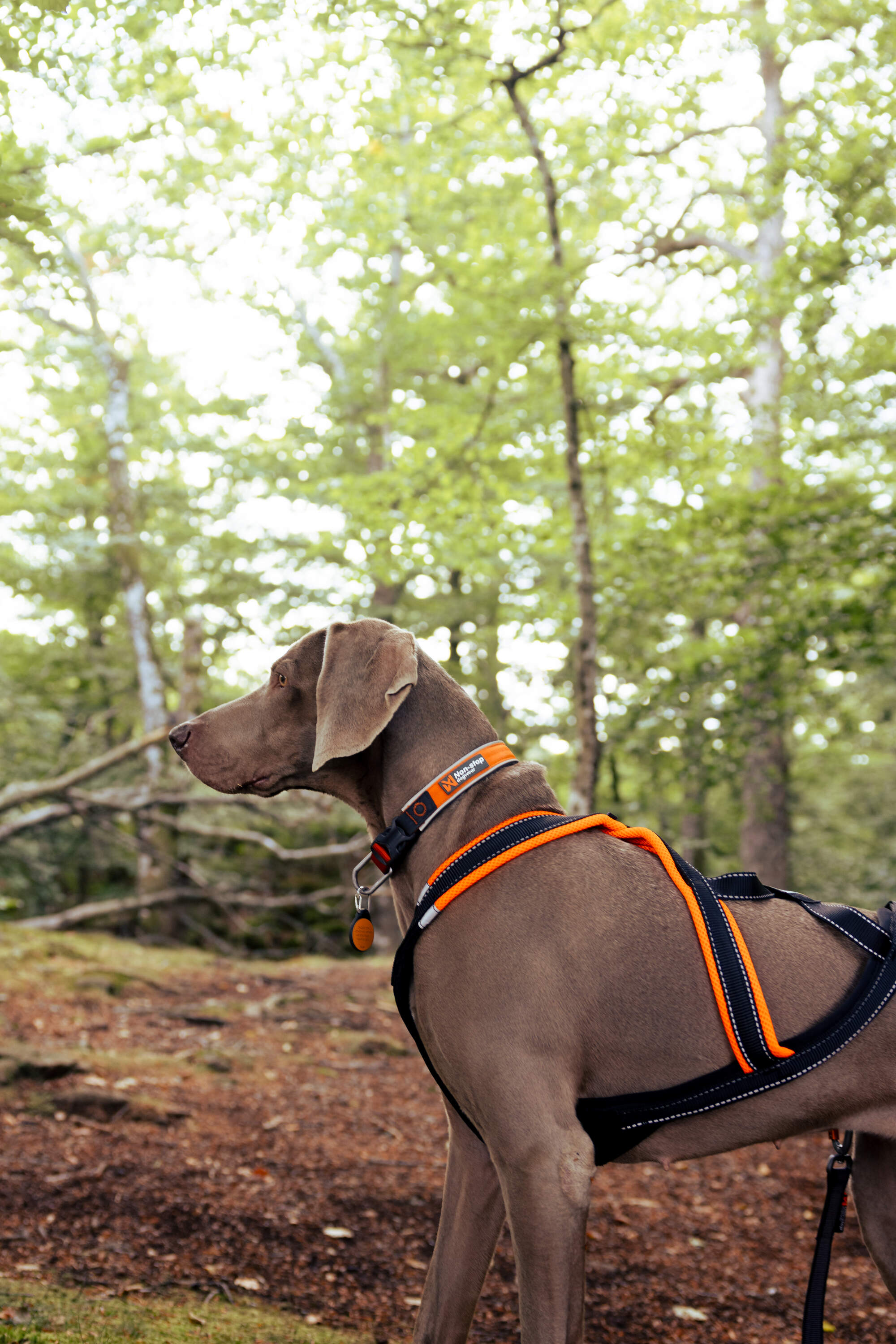
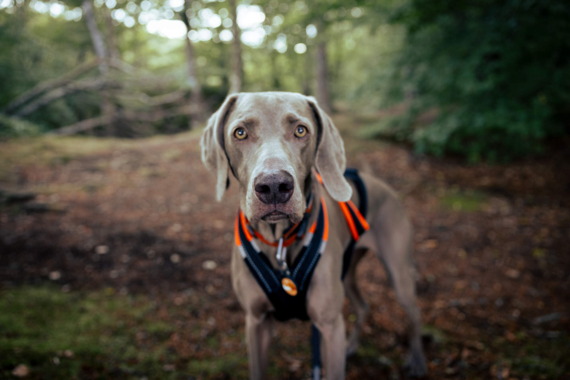
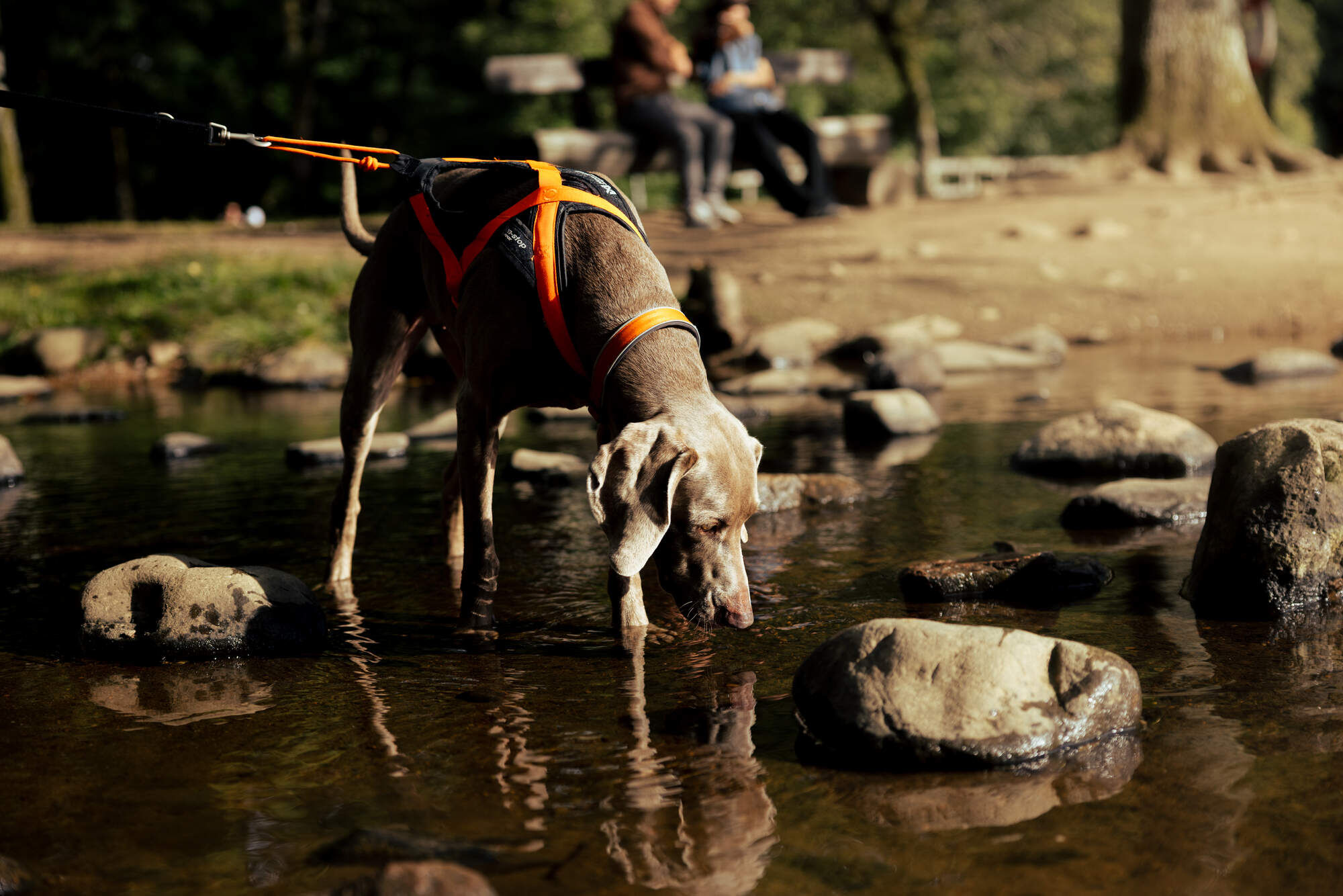
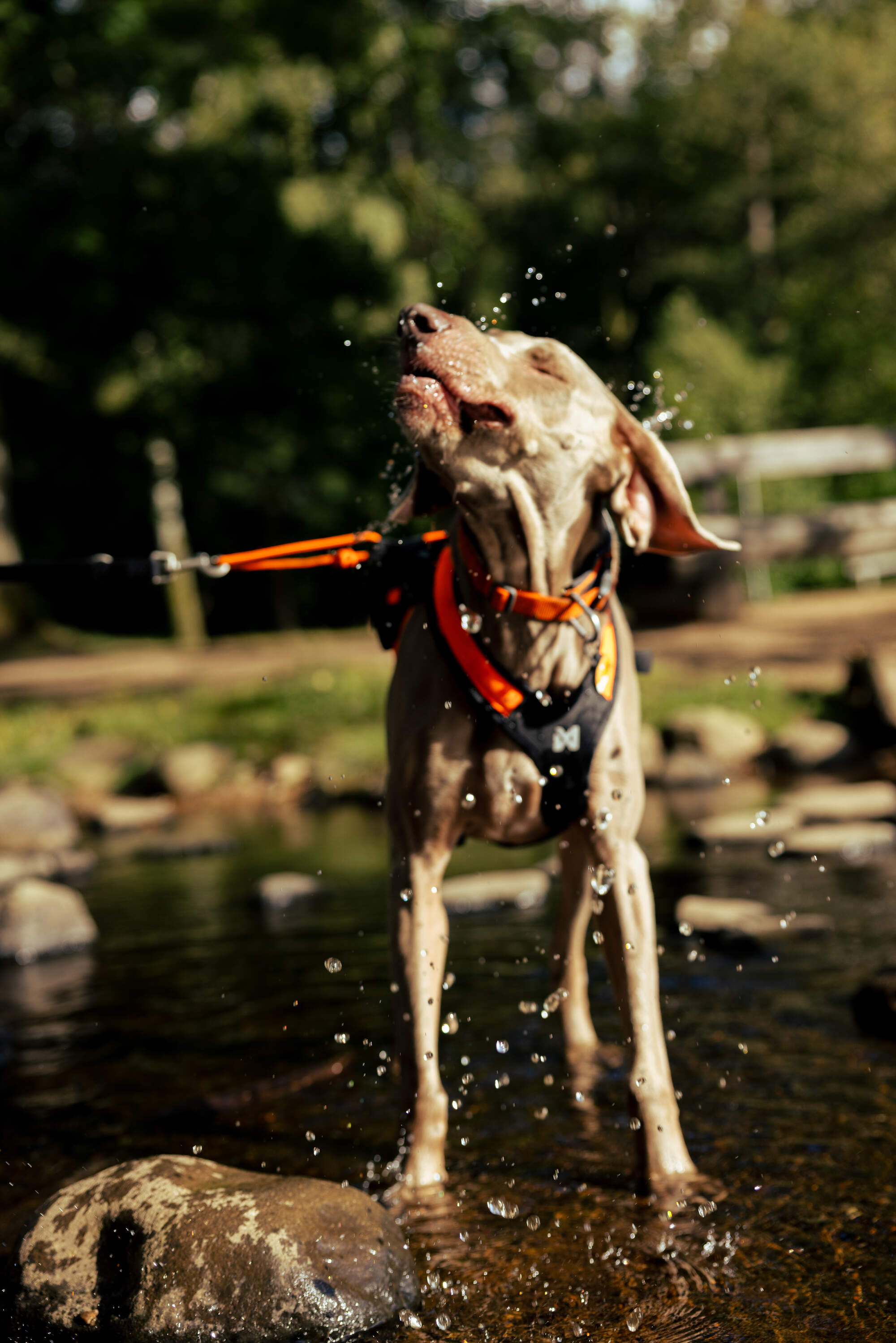
Mila had a blast getting her paws dirty! She was entranced by the stream we walked alongside of for quite a while, and all the dead branches she could dig out. She had to be on the leash and while it was not crowded during our trip, we did regularly meet other people and dogs.
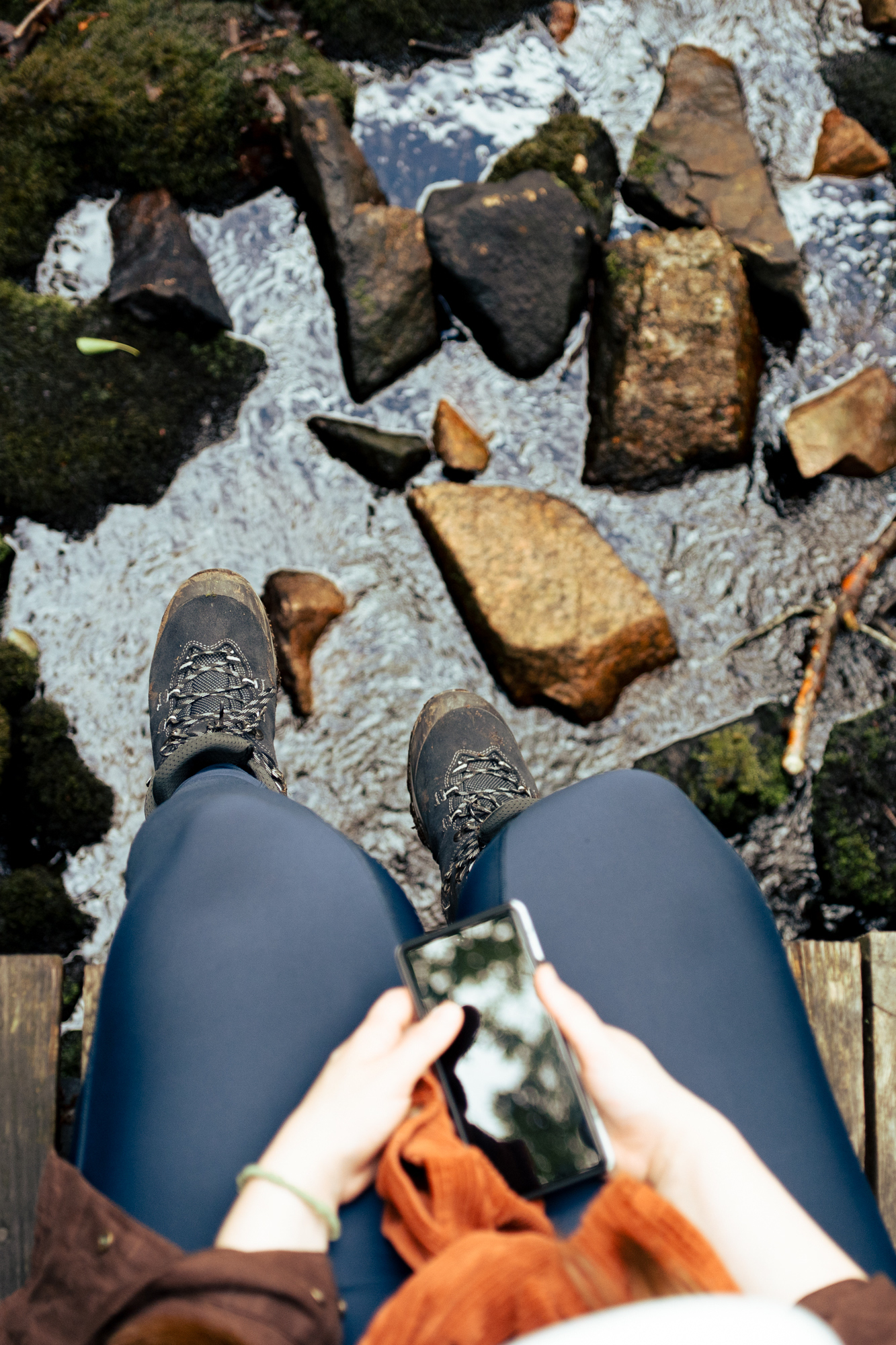
We brought a little technological experiment along on this hike as well, both to track our path via GPS and send little text messages via meshtastic, which Jonathan has written more about over at jonathanmh.com.